
What do you get when you hike with a group of 20, go 18.38 miles, and gain 4042 in elevation? One hell of a hike!
On Saturday 3/18 a group of brave hikers came with me on my quest to hike an 18+ mile loop to the top of Mt. Tamalpais to conquer my 4th peak of the 6 Peak Challenge!
We started out promptly at 810am on the Matt Davis Trail on our way to the Pantoll campground. It was a beautiful day with filtered sunshine, mild temperatures, green hillsides, and lush forest. The streams were all flowing from the recent rains, and you could hear the water rushing everywhere. Many photos were taken along the way and stories being shared with all.
We took a quick break at the 3-mile mark and took a group photo on top of Bare Knoll. You could see the San Francisco Bay, the City, Stinson Beach, and the Farallon Islands from this point.
We hit Pantoll and the road up to Mt. Tam where a few more hikers who got a late start joined us and another group photo was taken. Then off to Bootjack campgrounds and then to the West Point Inn.
We took another break at the Inn then made our summit push which was just another 2 miles ahead. There were few others on the trails but when we hit the parking lot at the summit it was busy with bikers and tourists who drove to the top.
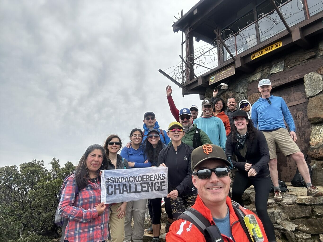
We hit the summit at about 12pm and had lunch. Celebration photos were taken, views enjoyed, lunch eaten, and then off back down to complete the hike.
The trails were dry with a few muddy spots that were very manageable. The weather was mild all day and there was a light wind from time to time.
On the trail back down, we crossed over the Panoramic Highway by Mountain Home Inn and connected with Troop 80 Trail and followed it back to Pantoll and then down the Dipsea Trail back to our cars.
It was an incredible day to be on Mt. Tam. Thanks to all who hiked today! I have posted all the pictures and videos of my hike to this page. Also, there is a link to the All-Trails route we took. If you would like to ask more questions about my hikes, please feel free to message me and I will share all my info. If you are interested in my hikes, you can follow me on my Facebook page Jason’s Hiking Adventures and Bay Are Hikers, Instagram @jasonshikingadventures, and All Trails. Thanks for reading!
All Trails Map: https://www.alltrails.com/explore/recording/mt-tam-18-25-miles-4efc9e0


Responses