I did the clockwise loop. My time stamps:
12:15 pm Start Clockwise loop at Monument Trail
2:30 pm Crossed Middle Fork Creek, Started “The Shortcut”
3:38 pm Finished shortcut, Started Blue Ridge
5:13 pm Started Jackass Trail
5:59 pm Finished jackass, Turned on to Poverty Flat
6:43 pm Creek Sign Post Saying China Hole 0.5mi and Coe HW 3.7mi
8:41 pm Finished at Visitor Center
= 8 hours, 26 minutes with several small breaks throughout.
A tough trail for me, but can be done by anyone. I am unexperienced and in below average shape. Other than “The shortcut”, trail is mostly along well maintained dirt roads so easy to follow and you can cover ground at a decent pace. This trail has a “big” feel that is exciting for novices such as myself but I imagine has enough to offer more experienced hikers as well. I have seen conflicting data about exact details of “The Shortcut” but some Strava data from various users showed 1,436 ft gain over 1.5 miles with 22% grade. In any case, consensus is that it's 1,000+ feet of elevation gain per mile for a little over a mile. The home stretch after the Jackass Trail on Poverty Flat also requires a bit of push so those were two areas that stuck out in my mind as requiring some effort while the rest was just walking along a dirt road. I think difficulty of this trail goes up a lot with temperature – would not want to try this in August.
There were two creek crossings: Middle Fork Creek after the climb up Hobbs Road and then Middle Fork Creek again on Poverty Flat. Creek height at the crossing was approx 18-24 inches as per Park staff that day. Approx 3 weeks ago it was over 3 feet. First crossing is short and shallow. Second crossing is a bit longer and deeper. Rock hopping can go wrong and you can end up with wet feet.
Temperature: High of low 60's F, Low of 46 F local temperature, trail was few degrees cooler (by end of trail of sundown, was 42 F with wind and it was getting cold).
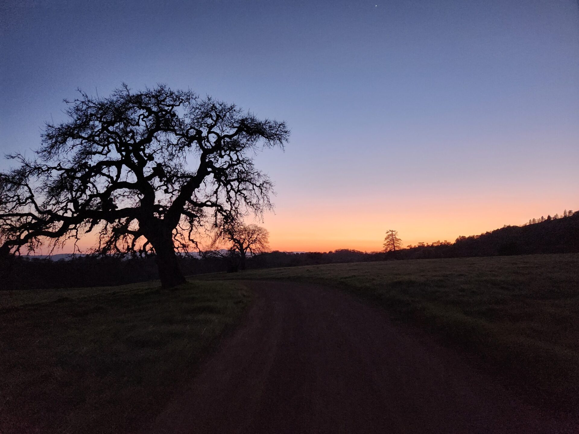
For fellow first timers: leave plenty of time, at check in the park staff said I may be cutting it a bit close for a first time timer (in terms of hours of daylight left). They were right and with sunset at approx 7:45 pm, I needed a flashlight for my last 30 minutes once the twilight started to fade. I would suggest an earlier start.
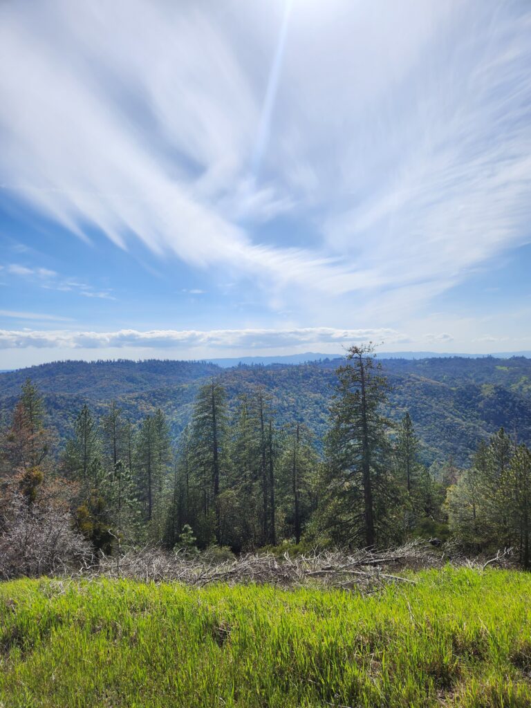
After the first 90 minutes, I did not see anyone on the trail. It's park land as far as the eye can see so it has much more of a “big nature” feel than other local bay area trails – no city to be seen. And since it's only approx 1 hour from San Jose and the biggest state park in norther California ( 87,000 acres), it is definitely worth seeing. The view from the ridge was lovely and golden hour was stunning. I look forward to exploring more of the park. My favorite of the Six Pack of Peaks Challenge so far (having completed Umunhum, Mission, Black Mountain).


Responses
P.S. Carried 2 gallons of water, used approx 1.5 Gallons.
Beautiful photos! That’s quite a hike…
Great pics!