Soyjaking the Saddleback
Also on this hike
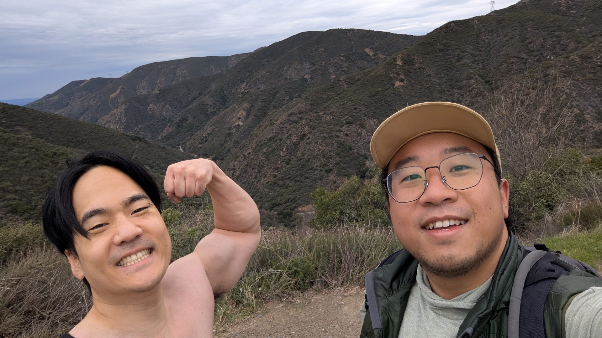
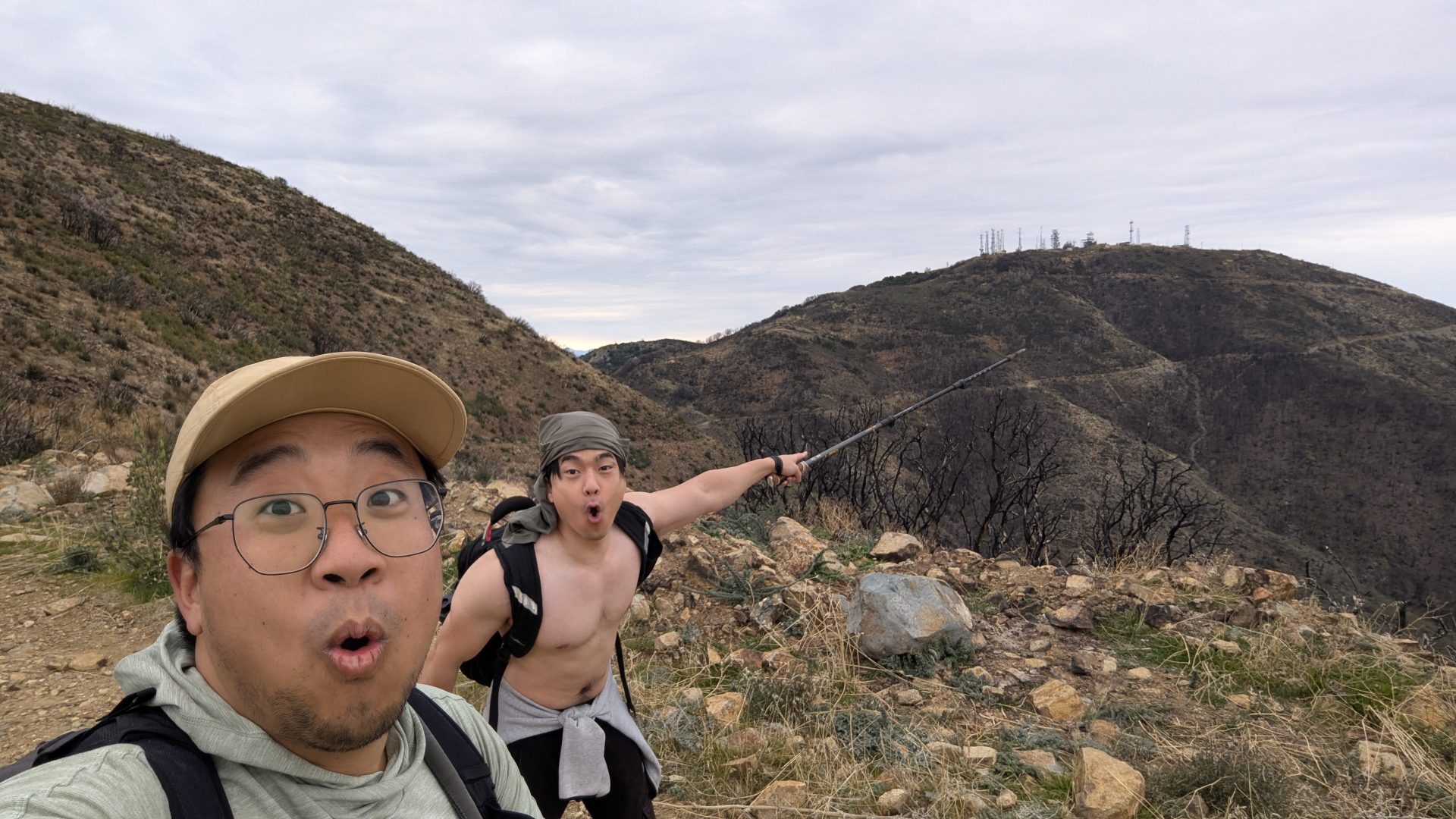
7:00am start to the hike. Thanks to a gate closure at Maple Springs for reasons still unknown. The worker said they were fixing the road, yet there was no road work being done. This added an unexpected 3 miles and an additional 1000ft of elevation gain before the real climbing even began. Determined, we rolled with it. My hiking buddy, ever the memer, made the hike enjoyable by recreating meme photos through soyjaking, yelling “Nants ingonyama bagithi baba” (the opening to Circle of Life) at the top of his lungs to hear it echo through the valley, or singing your favorite pop songs.
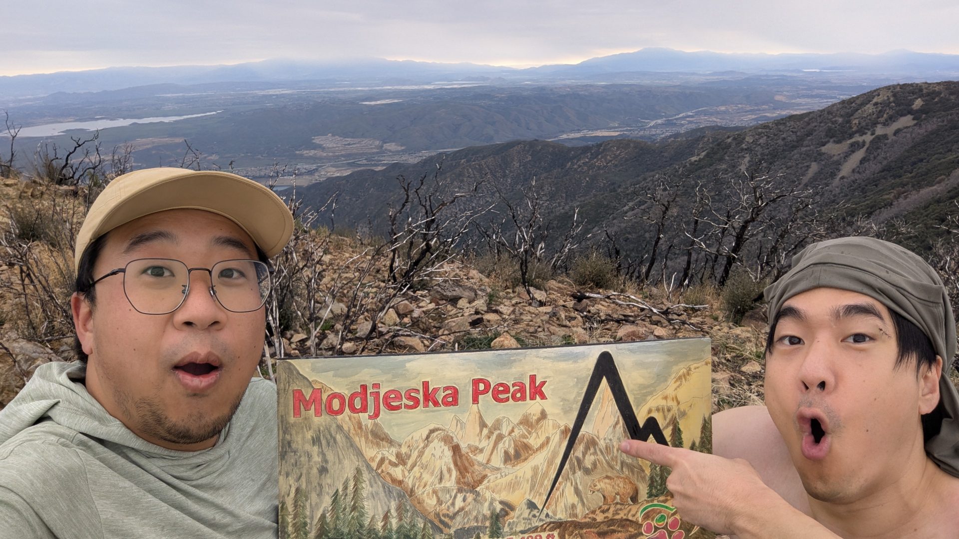
Miles 1–3 followed Maple Springs Road along a flowing creek that would jump across the road a few times. Around mile 2.5, surprise rain showed up early and stuck around on and off until after Santiago Peak—forecast didn’t have it raining until the evening. The paved road turned to dirt, and we continued. The road overall was quite rocky and had quite a few muddy/water-filled spots. Nonetheless, the views kept getting better: views of Cleveland National Forest (miles 3–6), views of Riverside and the Angeles and San Bernardinos with a Mt Baldy cameo (6–7), then Modjeska Peak at noon with a full 360° of Orange & Riverside Counties. Of course, mandatory summit soyjaking shenanigans were had. Shout out to the Warriors Society for maintaining much of the trails to the peaks.
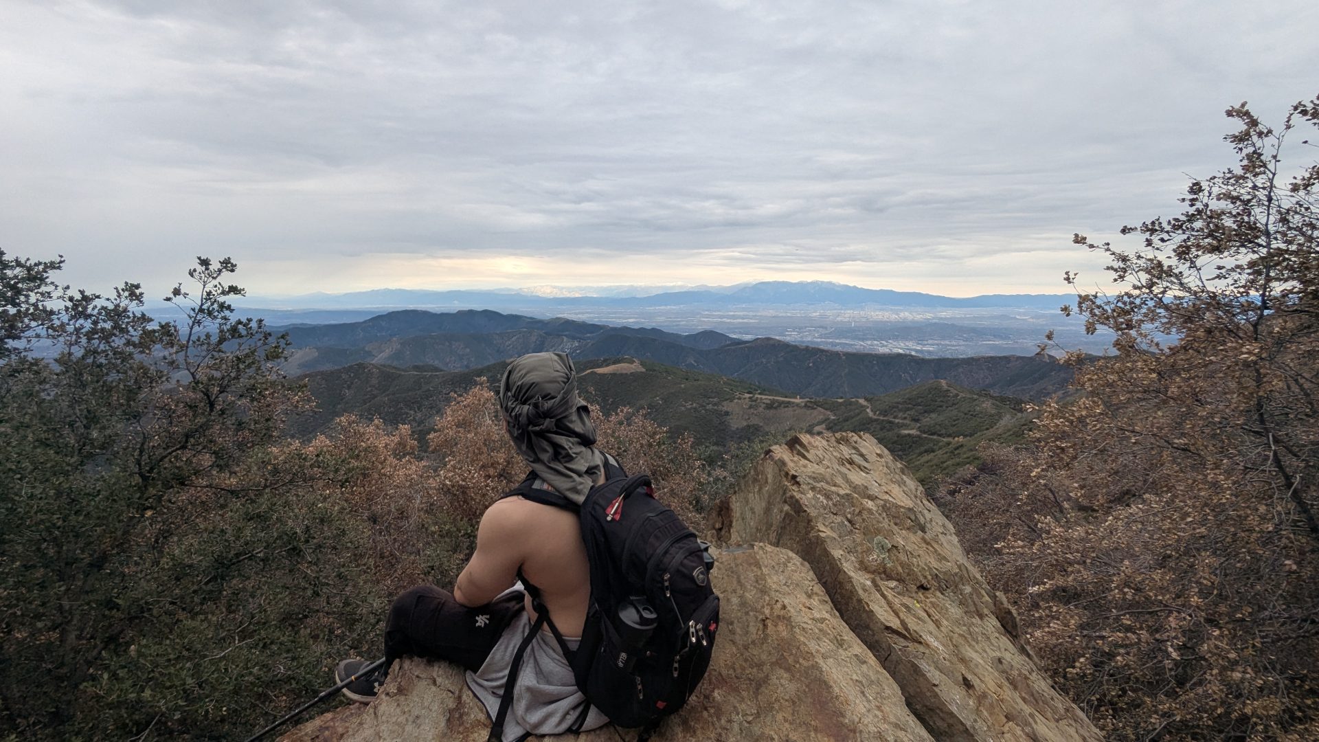
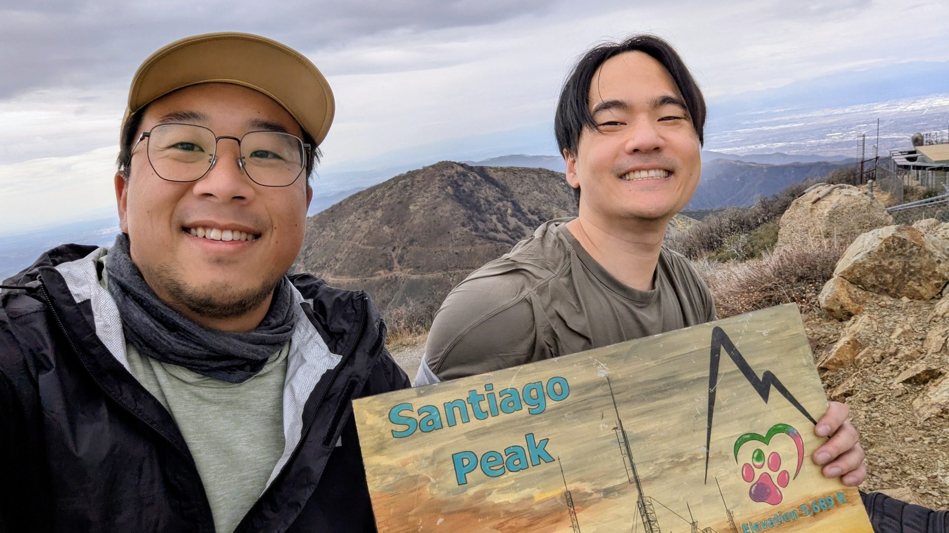
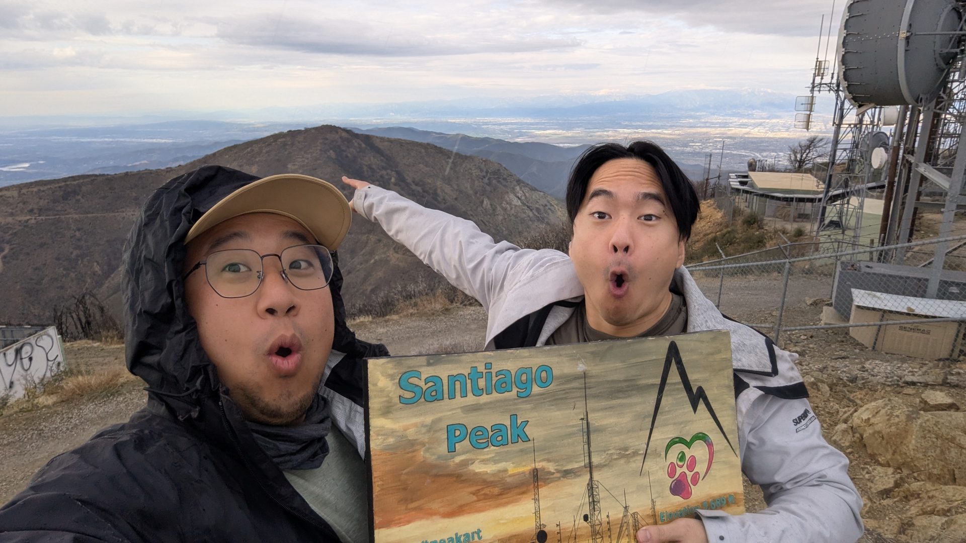
Past Modjeska peak, we continued along the trail through the saddle. The trail had literally collapsed around mile 10, but perseverance carried us through. The saddle had gorgeous views of the valley on either side. We continued to Santiago Peak and enjoyed a late lunch around 2pm. Aftewards, more pictures and soyjaking and taking in the beautiful sweeping views of the Orange County coastline. As we left the peak a brief heavy rain hit, but we were thankful it didn’t happen while we were resting.
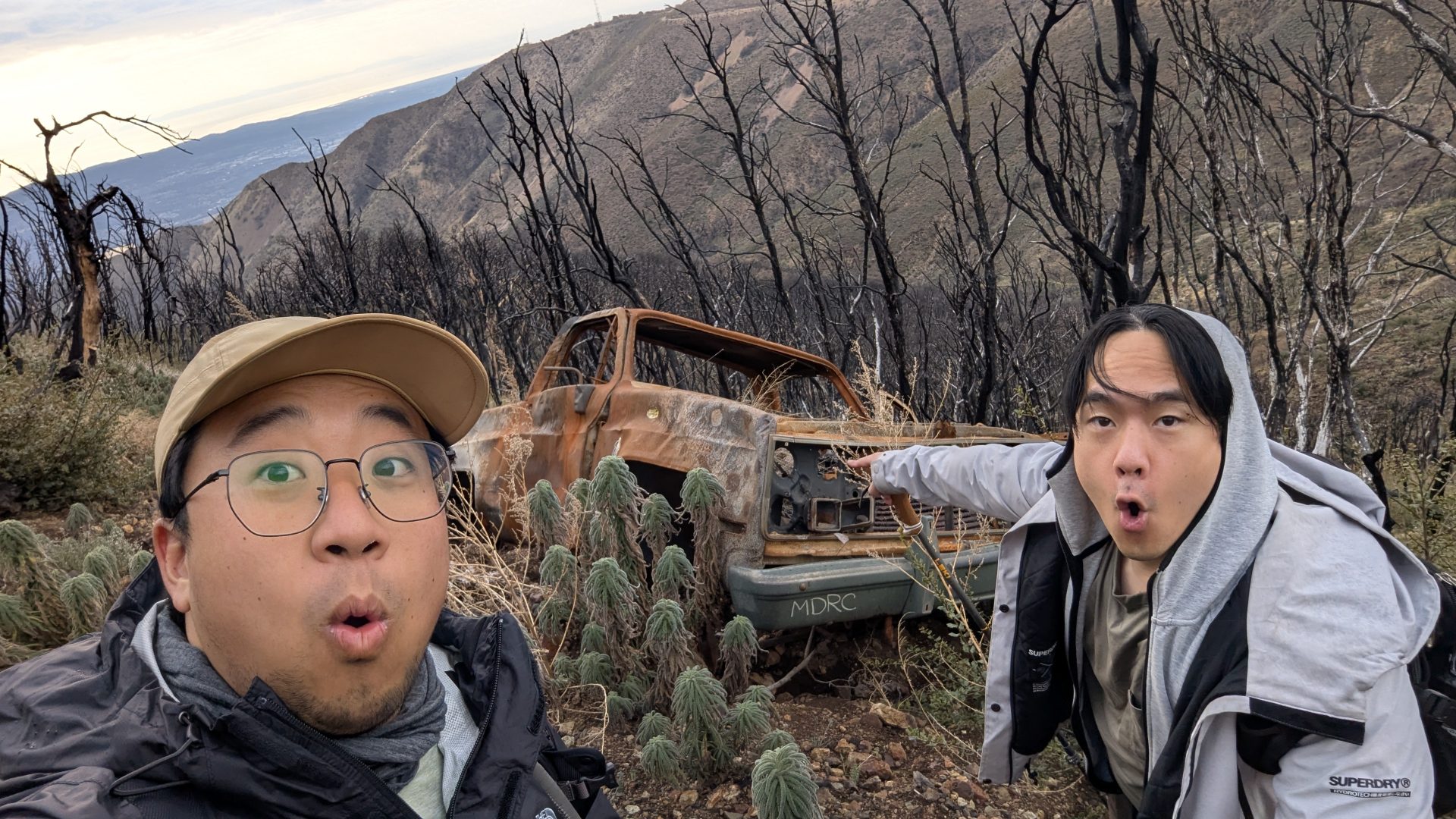
The road back we took a trail off Santiago and saw dilapitated old pickup, again soyjaking ensued. That trail also had a fallen tree, which we had to precariously walk around; much of the dirt around the narrow trail was loose. While taking a break in the saddle, I got to talk to a volunteer who was part of the team recreating the trail to the Old Camp. We also got buzzed twice by a helicopter that flew through the saddle. For the rest of the trip, we followed the service road all the way down, first to avoid the collapsed trail and also not wanting to risk the narrow rocky trail as the sun set, but also allowing us to view the sunset across the Pacific.
As the sunset and the light waned, we pulled out our headlamps and continued the long road down. This is where some struggles happened, due to a few slips on the rocky dirt road, my hiking buddy pulled his groin and injured his knee. Nonetheless, we continued down the trail, taking a few breaks along the way. We were back by 7pm and enjoyed a nice meal of shabu after.
What was expected to be a 14 to 16-mile hike turned into a 23-mile hike due to road closures and trail conditions. This was the longest hike I’ve ever done, and my thighs felt it. But it was a hike to remember.
Responses