Magical migration of Monarch butterflies
Weather was great, very windy a top. The wildflowers were amazing and having hundreds of Monarch butterflies fly around you…
Read More »Every hike logged by the Social Hikers community.
Weather was great, very windy a top. The wildflowers were amazing and having hundreds of Monarch butterflies fly around you…
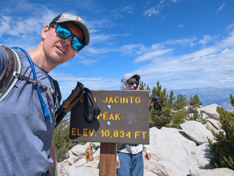
Read More »Decided to head up to Mount San Jacinto to escape the heatwave. Arrived at the trailhead at 630 and there…
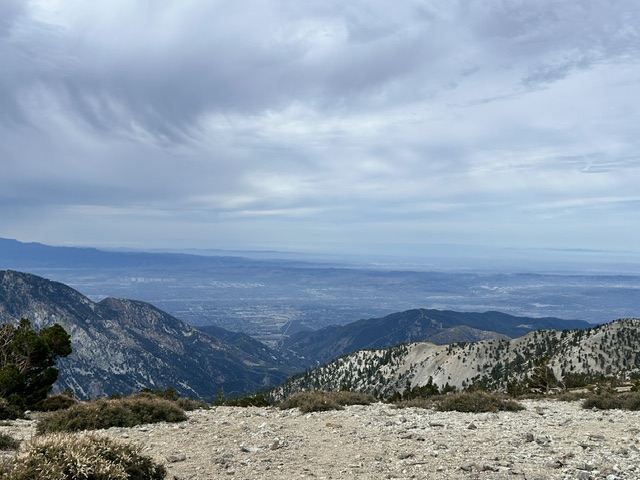
Read More »The walk up to the Mt. Baldy Resort was pleasant, but as I kept going the wind gusts made the…
Read More »completed my first hike on here solo. It was a great experience, especially when I mistook a deer for a…
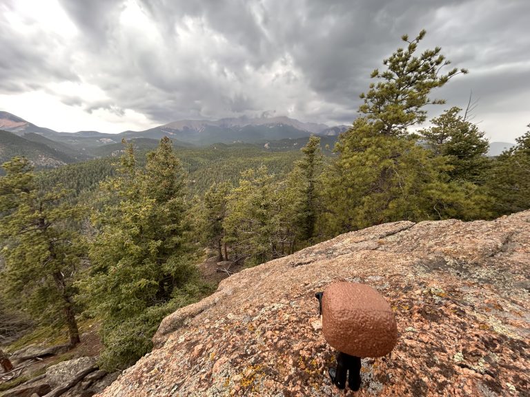
Read More »Escaped the 100 degree temps for the cool air on this trail. Did the 3 peaks. Perfect temps. Still some…
Read More »My last opportunity to hike with my son before he’s off to college and we tackled Cucamonga Peak. Got there…
Read More »This was our first time trail running and it went good! I planned to hike up in the dark and…
Read More »Hot. Slightly dusty. Bobcat spotted next to trail 1.5 miles in. Summit was beautiful with slight wind. Recommend hiking in…
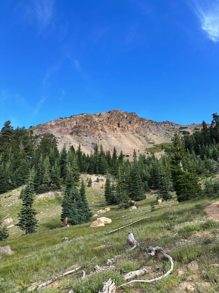
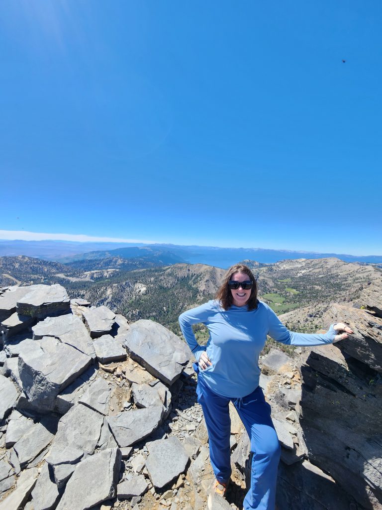
Read More »I haven’t done all that many hikes in the Lake Tahoe basin, but I might have just found my new…
Read More »Took the incline portion nice and slow which actually made it very manageable, especially with the temps hovering in the…
Read More »I haven’t hike these past months, so this one kicked my ass hahaha but i absolutely loved it and am…
Read More »Trail conditions were great. Weather was nice, but warm in the afternoon. This was a magical time to visit. The…
Read More »Please confirm you want to block this member.
You will no longer be able to:
Please note: This action will also remove this member from your connections and send a report to the site admin. Please allow a few minutes for this process to complete.