
MY 6TH PEAK!
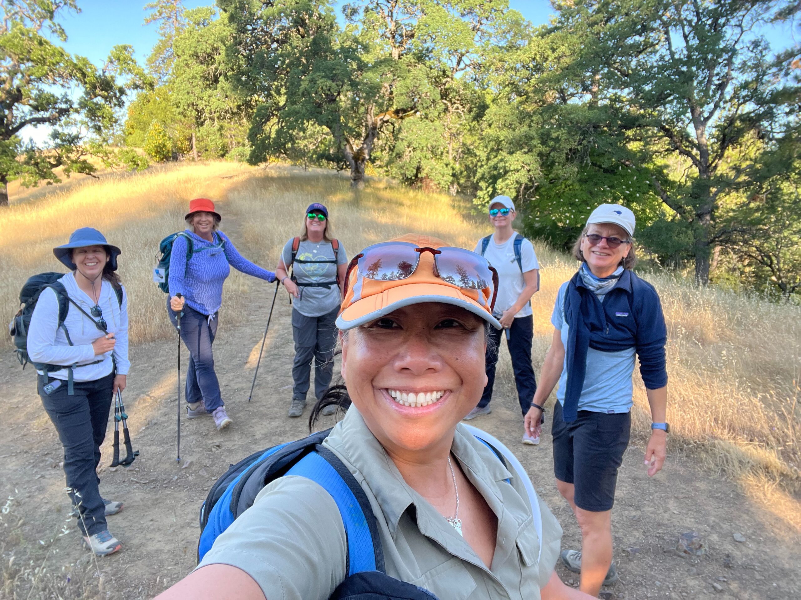
Our group of six women from the Bay Area Women’s Mid-Week Hiking Group set out on the Mt. Sizer loop around 7:30 a.m., already shedding layers and hiking in t-shirts. Despite the warming day, a steady breeze kept us comfortable for most of the trek. The hike began gently, but things got serious at the base of the infamous ‘Shortcut'—reportedly the steepest trail in the Bay Area. After a knee-deep creek crossing (not difficult at all!), we fueled up for the climb.
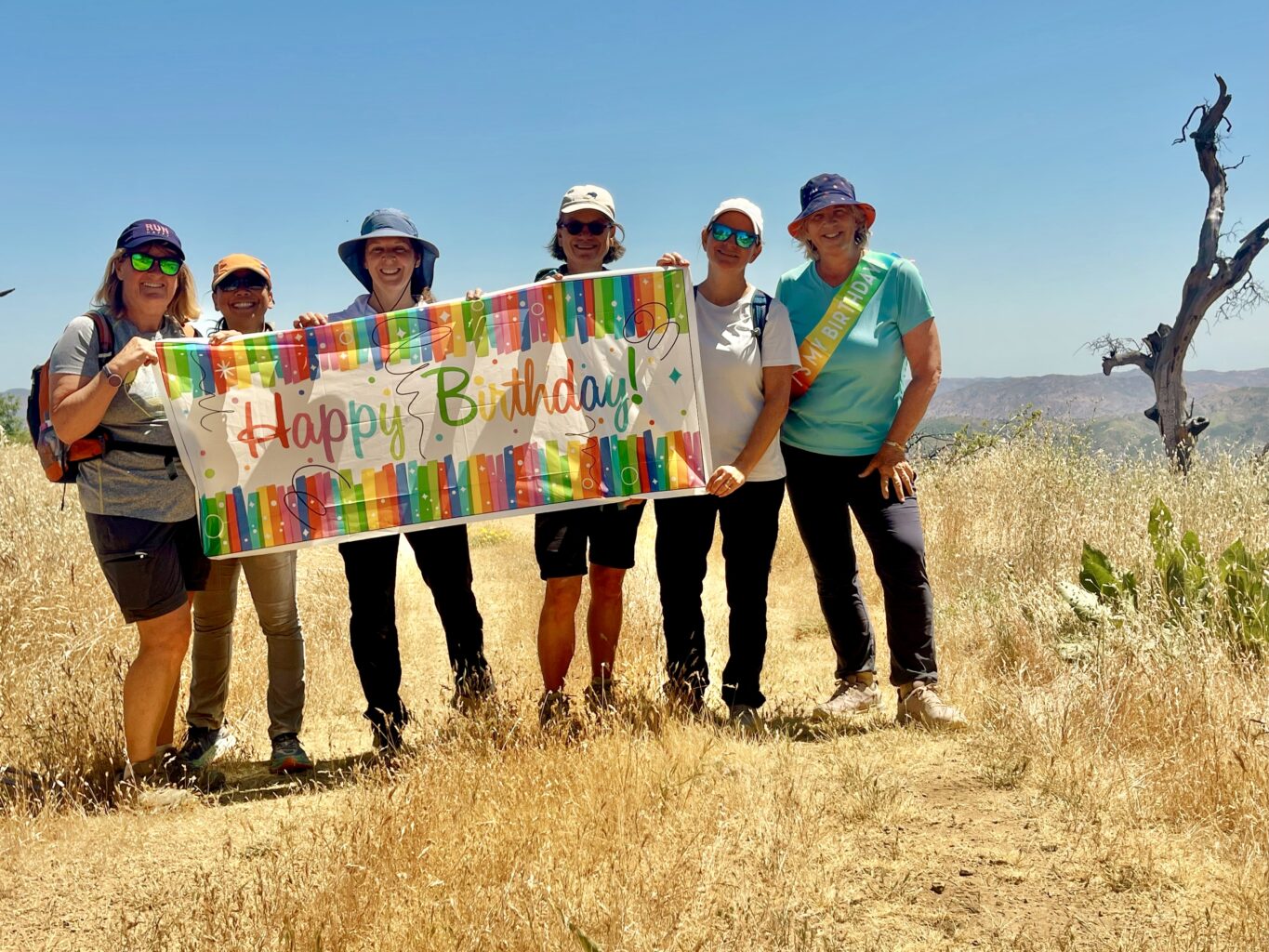
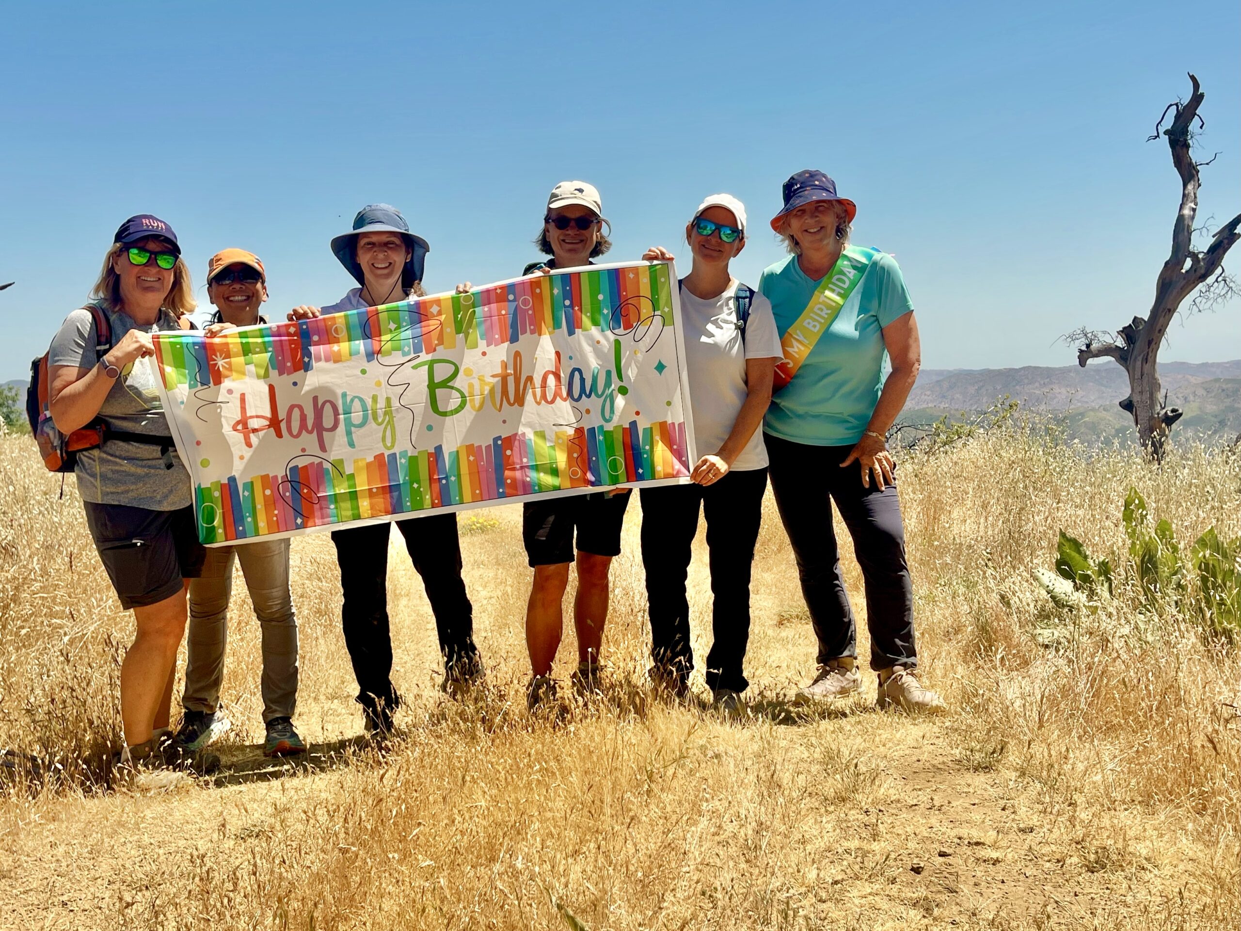
The ascent was grueling but empowering. Four of us reached the top within the number of minutes equal to our age—a fun benchmark—and the other two weren’t far behind. At the top, we celebrated our success before continuing on to the Mt. Sizer summit, where we held a surprise birthday celebration overlooking the ridges and valleys below.
Later in the hike, we missed the turnoff to the Jackass Trail, adding an unexpected half-mile (steep down and up) detour. Our second creek crossing came just after the Poverty Flat campsites, where we paused to refuel before tackling the final uphill grind. Some of us felt Mt. Tam and Rose Peak were tougher than Sizer, while others (like me) found this hike to be the most challenging—proof that difficulty is personal and influenced by more than just elevation gain or mileage. For three of our members, this was the 6th hike of the Six Peaks Challenge series!!
We wrapped up the 15.5-mile adventure around 5 p.m., tired but proud of the day’s achievement.
Responses