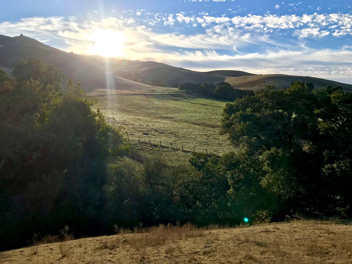
![]() Mission Peak rises 2,517 feet above the San Francisco Bay, offering views that extend from San Jose to Mount Tamalpais.
Mission Peak rises 2,517 feet above the San Francisco Bay, offering views that extend from San Jose to Mount Tamalpais.
There are several trailheads that will take you to the summit, including the popular Stanford Avenue Staging Area, highly recommended Ohlone College, and the longer Bay Area Ridge Trail route beginning at Ed Levin County Park.
Did you know?
Climb Mission Peak on a clear day and you might see the snow-capped Sierra Nevada mountains to the east.
Mission Peak Basics
- Summit elevation: 2,517′ (767 m)
- Vertical gain: 1,992′
- Hiking mileage: 6.2 miles
- Location: Mission Peak Regional Preserve
Hiking Mission Peak
This trail is popular and very exposed, with limited shade. Best to hike this on a weekday to avoid the worst crowds, and don’t hike this when the temperatures are pushing triple digits. It helps to avoid mid-day, when the sun is the strongest.
Trail Guides
Here are detailed trail guides to give you the information you need about each route:
- Stanford Avenue Staging Area to Mission Peak
- Mix it up! Gurmeet Manku has over two dozen different routes up Mission Peak
Travel Time
- Drive time from San Francisco: 1 hour (56 miles)
- Drive time from Oakland: 47 minutes (33 miles)
- Drive time from San Jose: 23 minutes (16 miles)
- Get turn-by-turn directions on Google Maps for the various trailhead options:
Local Tips
- Start early. Sunrise would be ideal to avoid the worst crowds.
- Bring plenty of water and sun protection.
- Avoid hiking on hot days.
Latest Mission Peak Trip Reports
These hike logs will give you a feel for what the current conditions are, and the experience from other Six-Pack of Peaks challengers.
View all Mission Peak trip reports.
 The Six-Pack of Peaks Challenge

This hike is part of the Northern California Six-Pack of Peaks Challenge, a series of challenging hikes up six, diverse and scenic Bay Area mountains. Sign-up to take the challenge today!
Got a link or tip we should add to this page? Let us know!