Bay Area Overview > The Peaks > Mount Saint Helena

At 4,341 feet in elevation, Mount Saint Helena in the Mayacamas mountains is the tallest peak in the Bay Area Six-Pack, and one of the few mountains in the Bay Area to actually receive snowfall in the winter.
Mount Saint Helena Basics
- Summit elevation: 4,341′ (1,323 m)
- Vertical gain: 2,119′
- Hiking mileage: 10.7 miles
- Trailhead Location: Robert Louis Stevenson State Park
Hiking Mount Saint Helena from Robert Louis Stevenson State Park
Trail Guides
Here is a detailed trail guide to give you the information you need about this route:

Mount Saint Helena
Beautiful clear day. Had great views. Beginning was a little steep but with nice switchbacks some rocky areas. Then to the fire road up to

Mount Saint Helena
Started at the trail head around 8:15am. Parking is slim, but able to get a spot. Trail started off shaded, and with a stream trickling

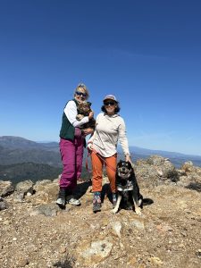
From Mt. Saint Helena with Love
On a little staycation with my wife this weekend and we decided to Summit Mount Saint Helena. It was the first hike we both had


Rainy Day on Mt St Helena
I decided to hike Mt St Helena despite the rainy weather. I bought a giant poncho this winter so that I wouldn't have to cancel
The Bay Area Six-Pack of Peaks Challenge
![]() This hike is part of the San Francisco Bay Area Six-Pack of Peaks Challenge, a series of challenging hikes up six, diverse and scenic Bay Area mountains. Sign-up to take the challenge today!
This hike is part of the San Francisco Bay Area Six-Pack of Peaks Challenge, a series of challenging hikes up six, diverse and scenic Bay Area mountains. Sign-up to take the challenge today!
Got a link, tip or favorite aprés-hike restaurant we should add to this page? Let us know!