Sizing up Sizer
Also on this hike
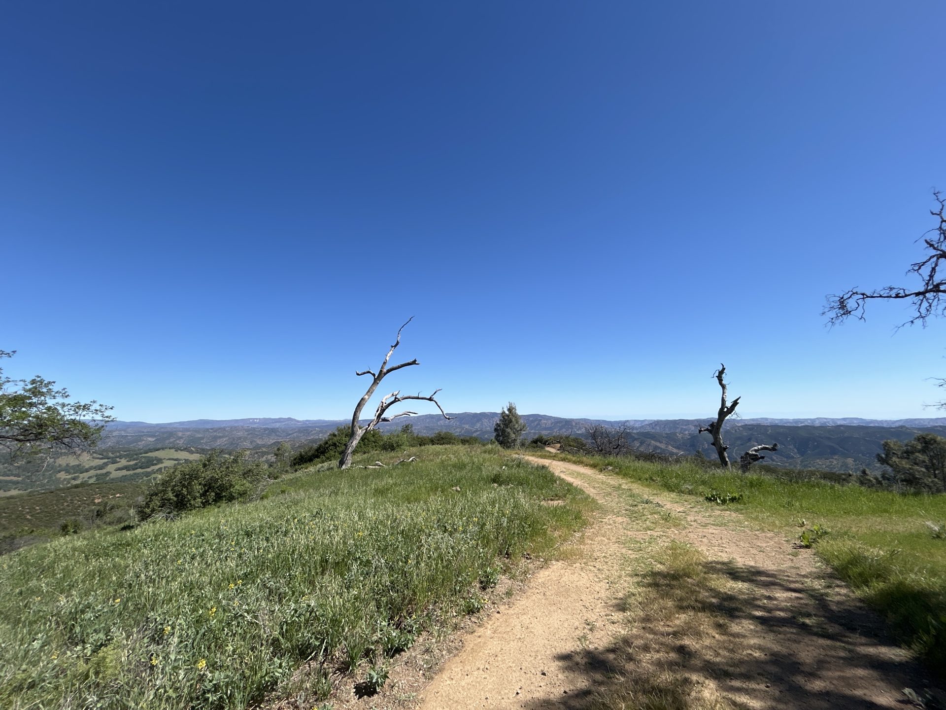
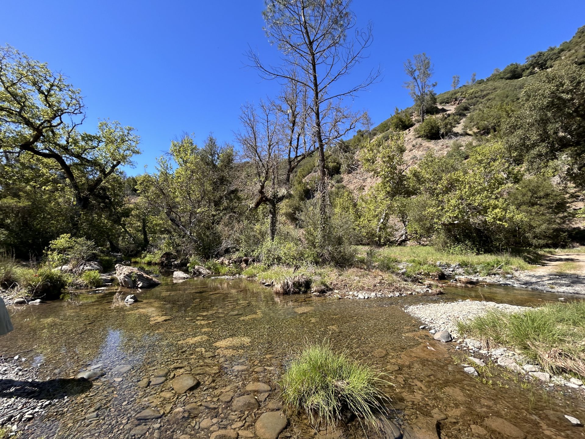
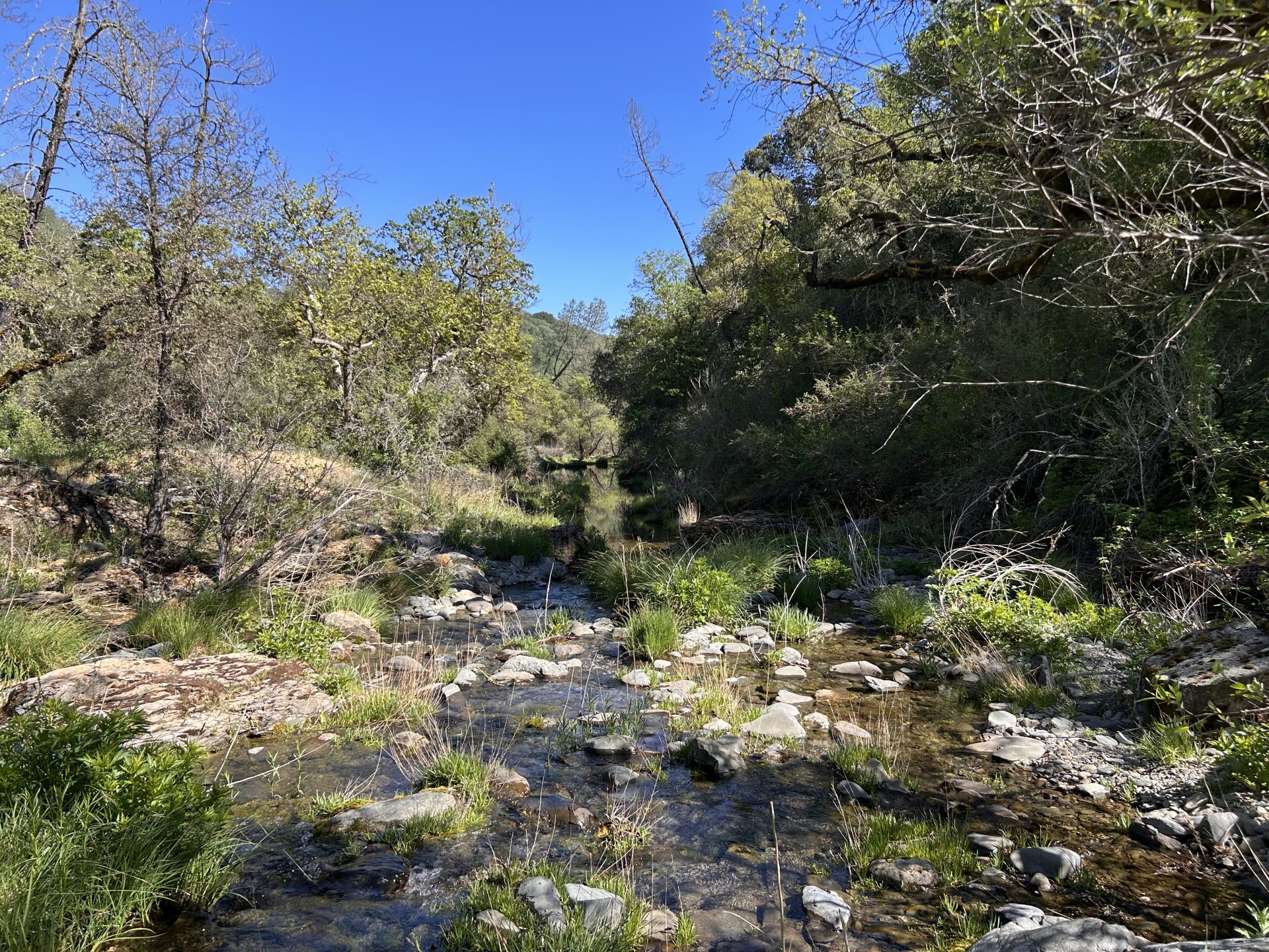
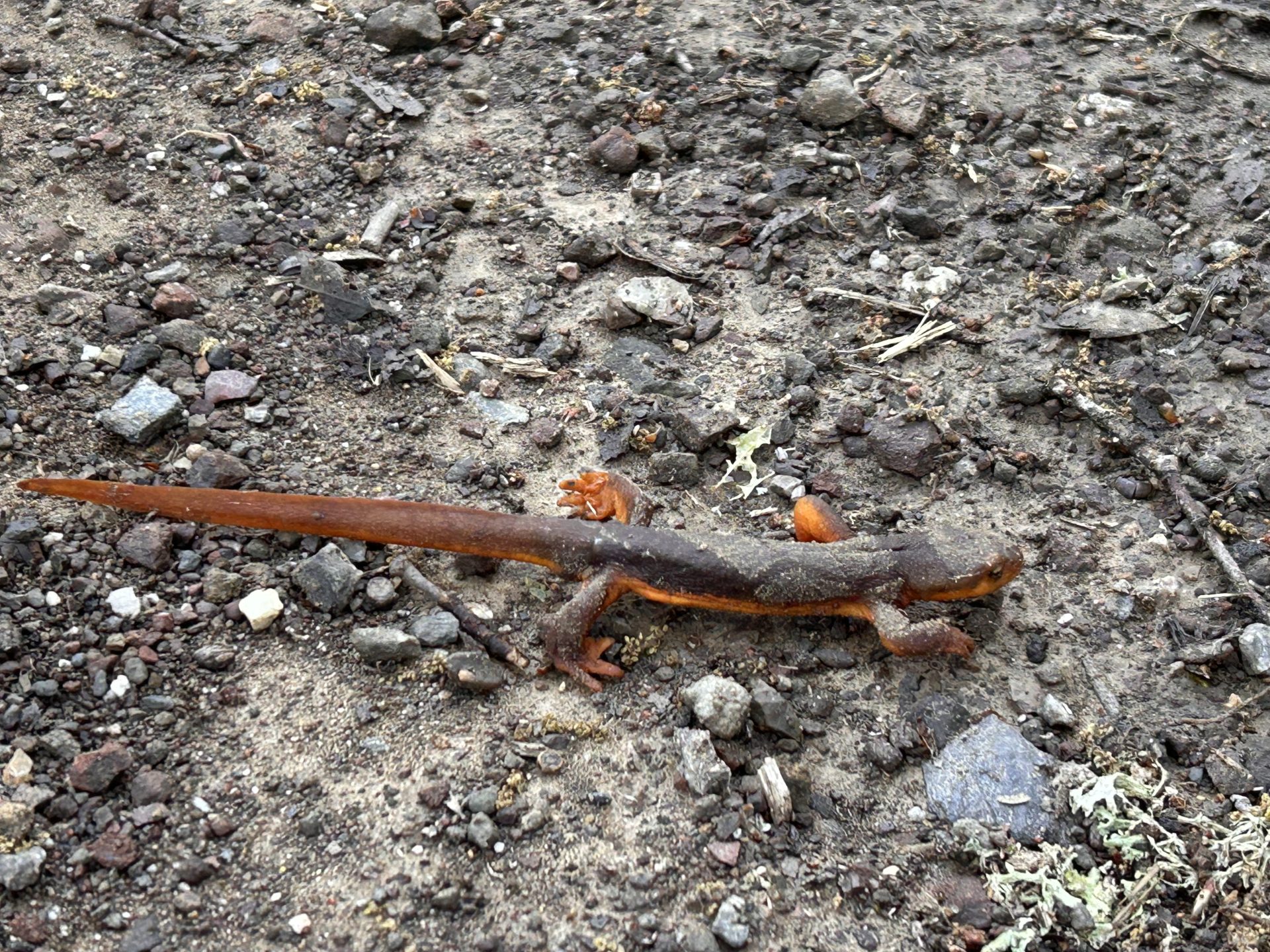
Was supposed to drive down to do an overnight camping trip to hike Caliente Mountain, but work got in the way. Would’ve been too long of a day trip with an early morning at work the next day, so decided on a short, easy hike nearby instead. Mount Sizer it is! Have done this a few times, but my friends never had and since I’m still recovering from a knee injury, we decided not to do the loop with “the shortcut” and just do an out and back “the easy” way. Actually made pretty good time up to the summit. We were a little hesitant to take the Jackass Trail since it’s often pretty overgrown and could get quite snakey, but it was chilly enough, especially with the wind, that they were not in attendance today. Instead of coming back down the ridge line how we went up, we decided to follow the road down the backside of the peak and connect below Jackass trail to avoid going through the grass again. It would add a couple miles and bag us a couple extra peaks along the way, but should be straightforward. Well, Gaia and Alltrails did not agree with the actual trail. The trail just disappeared. We back tracked to another trail, also on the map, that should reconnect us higher up than we wanted. Well, after about a quarter mile, that one disappeared also! After about two hours of cross country, off trail hiking and minor bushwhacking up and down steep ravines and through some poison oak, we finally reconnected with the main trail, almost a mile from the summit, instead of a few miles lower! In trying to avoid the hardest part of the trail, we created an even harder hike. At least we got to see lots of wildflowers and wildlife, especially while off the beaten path. Saw a coyote, jackrabbit, a family of wild pigs, lots of turkeys, a few salamanders and lizards, hundreds of quail, lots of other birds and even one large rat with apparent bit marks, dead on the trail we had just gone down hours earlier. Possibly a big cat near by? All in all, very “easy and chill” day of over 4000ft of total elevation gain, just under 18 miles and about 9hr 45mins of hiking. I’m writing this two days later and my calves are still angry with me!

Responses