
St. Helena
Also on this hike
Parking lot is a bit small and was almost full by the time we arrived at 10AM which was the earliest we could get to the trail given the distance from South bay.
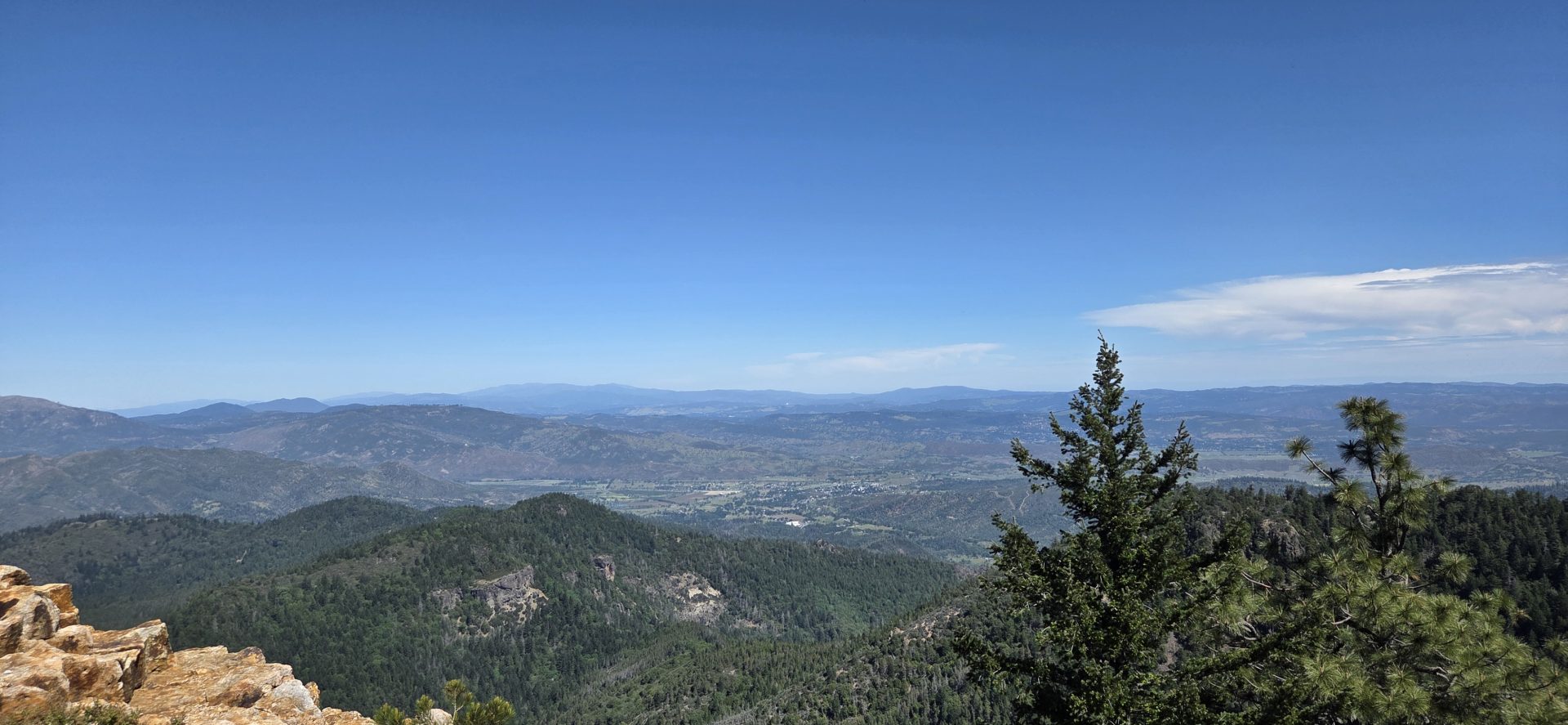
The first mile is very pretty and well shaded. After that you hike on a service road. It made for easy hiking and allowed us to really step up the pace. The vistas are nice but is a service road.
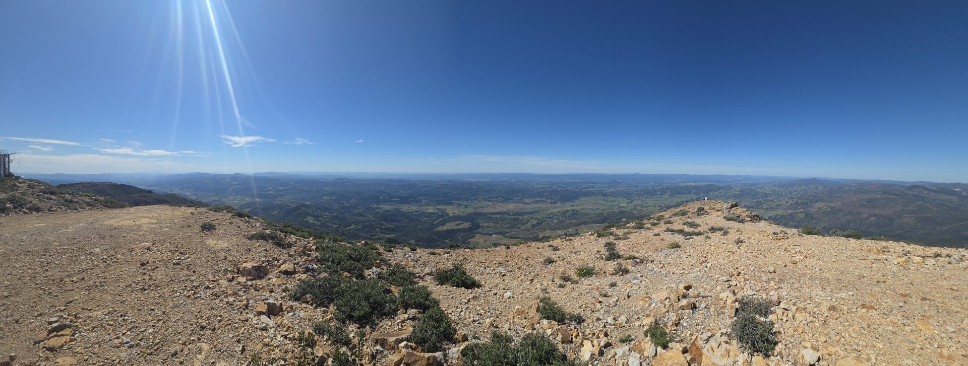
I unfortunately wasn’t able to find the USGS marking for the altitude at the top of the peak.
We also saw a bunch of hand gliders on our way down which was pretty cool. The mountain is known for them apparently.
We also took a slightly different route down that took us past an abandoned mine. No way to get to the entrance without a ladder or climbing gear though.
I recommend using this trail:
https://www.alltrails.com/trail/us/california/mount-saint-helena-trail–2
There is another on Alltrails that takes the service road all the way up which I avoided as the wooded section was one of the highlights.


Responses