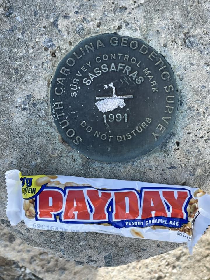
We started this hike from our homes EARLY this morning in East Tennessee. I put in Sassafrass Mtn into my google and we headed out for our almost 3-hour drive to the trailhead. An issue came to light when we came to a T intersection that said Sassafrass Mtn left 1.5 miles. It was at that moment I knew that I had screwed up and instead of putting the correct trailhead, I put the peak instead. Do I go left and drive the 1.5 miles then head downhill and return or find an alternate. The decision was plan B because it seemed to get to the trailhead was going to take a while and, well we did have to get home sometime. We parked at the trailhead at Chimney top and headed up the Foothill trail. We reached the top, did the usual pictures, talked to some folks about the meetup I organize “East Tennessee Adventures,” then headed down the hill. At some point we came across an old roadbed. We, ok I looked at the Gaia app and saw that it looked to connect with the foothills trail down the hill. We decided to make up for our shorter trail to the top with some adventure hiking. The roadbed was not too bad to navigate, some bushwhacking, but doable. After hiking awhile I checked Gaia and saw that we had deviated to a different roadbed, and it was taking us away from the trail. We decided to bushwhack to the trail and go from there. I am going to load the GPX file, uh don't follow it. It will lead you through some hefty thorn bushes, thanks neosporin helps. We finally made to the trail and called it a day, getting home at 4:30pm
AZ Winter 20% off early-bird rate ends in
:
:
:


Responses