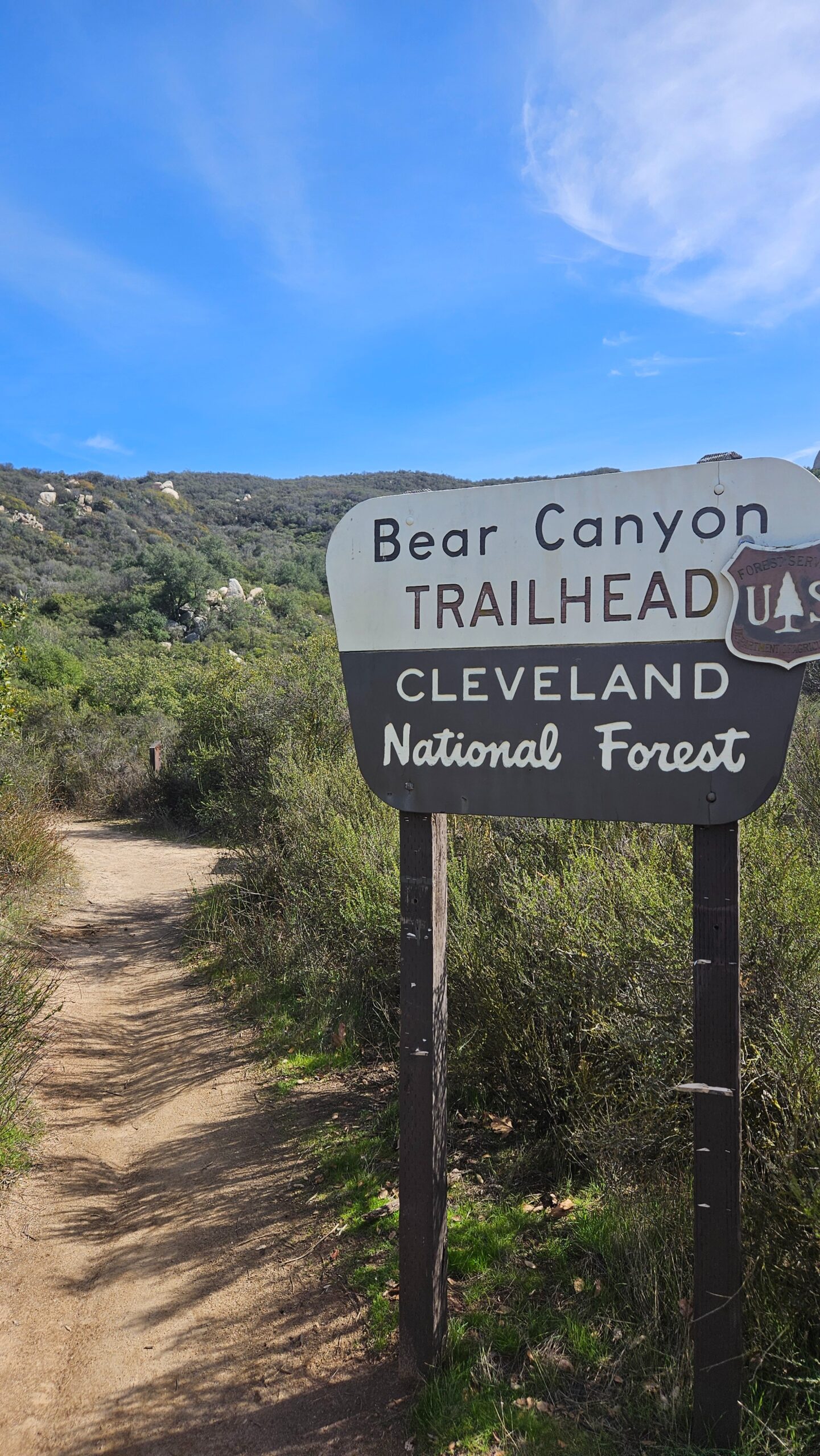
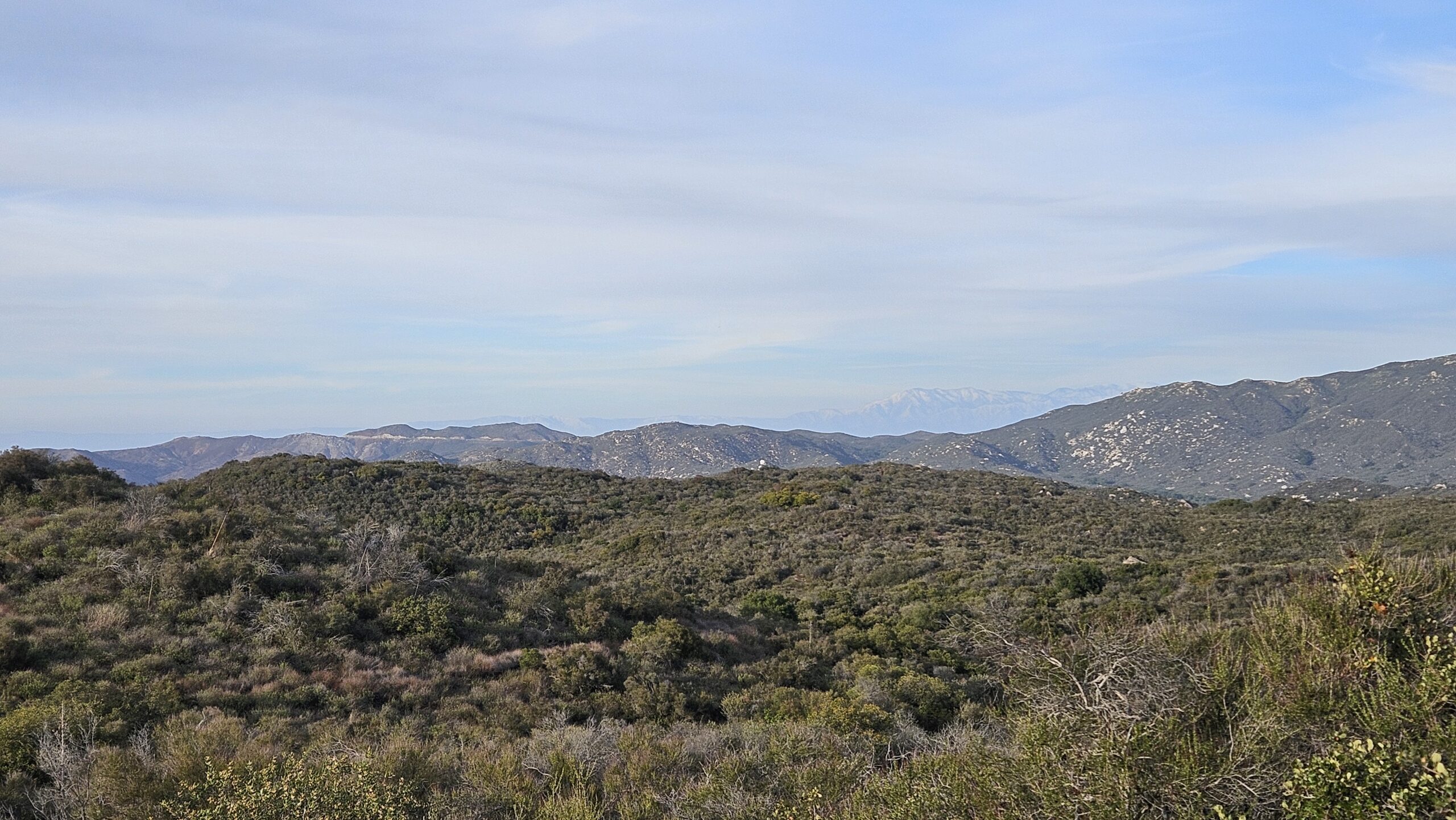
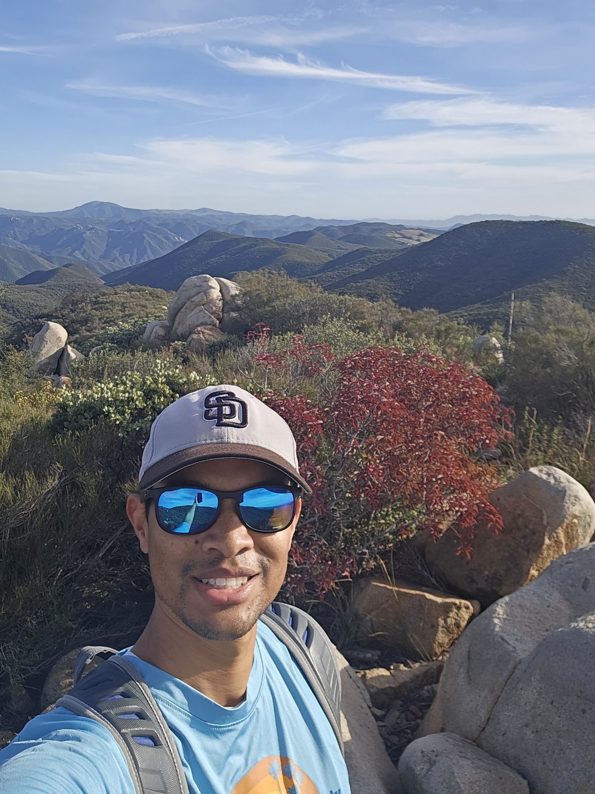
First of all, there wasn't a lot of information I could find about this hike. Considering it's not too far away from me in the Inland Empire, I decided to drive to the location and figure it out as I went. I parked along the 74, right by the candy store, then saw signs for “Bear Canyon Trail” directly west of the candy store. The hike itself was 5 miles towards the summit and relatively flat for the most part until the very end when you reach the summit. I actually passed the white marker labeled “Sitton Peak” on my way up, but then back tracked and found it. Once reaching the top, I looked for placards of Sitton Peak I could hold up, but couldn't find any. Maybe they blew off or someone took them away? All in all, the hike wasn't too demanding and the 10 miles to the peak and back was finished in about 4 hours. With this week's rains, it was very green and beautiful with snow-capped mountains in the distance


Responses
Hey Lawrence! Looks like a great hike up Sitton.
For future reference, be sure to check out the Peaks page for the challenge. It has links to detailed trail guides for every hike in the challenge. You can get to it from your dashboard on the website or in the app.
https://socialhiker.net/six-pack-peaks-challenge/southern-california/the-peaks/