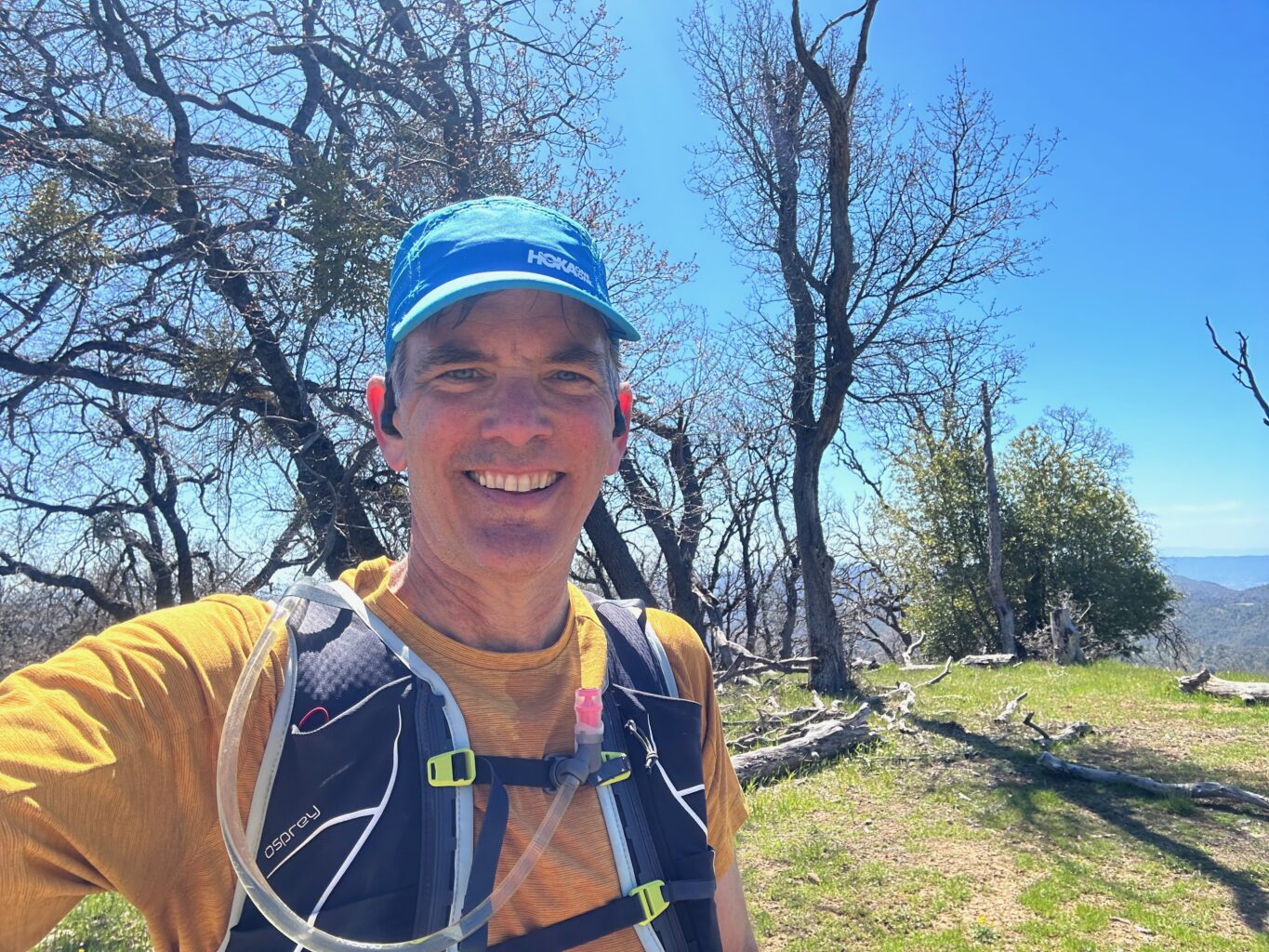

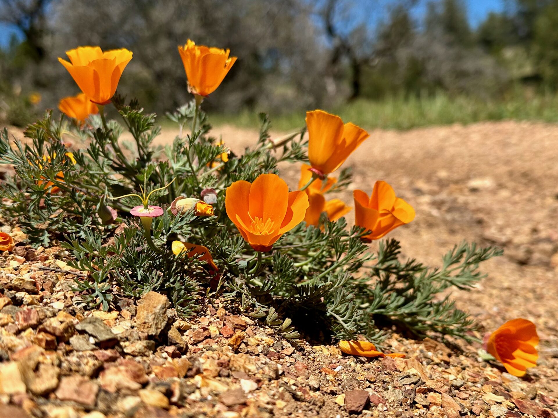
Just a few days after logging Peak #6 — added Mount Sizer on a day off from work (I'll be working on Saturday, so was given a free Thursday). Really nice weather, with a crisp mid-40s at the start at the Henry Coe Headquarters. I checked in with one of the rangers, and he said they had been clearing plenty of fallen trees from the trails over the past few weeks. Sure enough, there was a work crew out on Hobbs Road past Frog Lake that was clearing some manzanita. Was hoping to see some wildflowers. Although there were plenty of poppies in the Morgan Hill neighborhoods on the drive up, they were limited in Henry Coe. There were smatterings of yellow, white, and purple flowers along the trails.
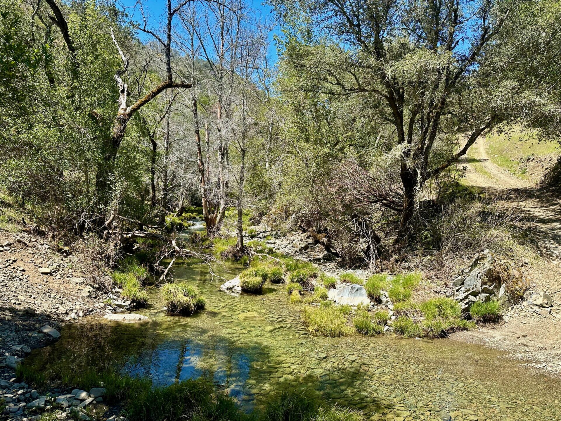
Headed past a very full Frog Lake and then down Hobbs Road. Managed to find a narrow section of Coyote Creek to cross … however, it was also quite slippery, and I managed to get a pretty good dunking. Not how I was hoping to start going up the shortcut, with wet shoes and backside. I managed to stay dry on the return trip (and got a picture of the creek, included with the post).
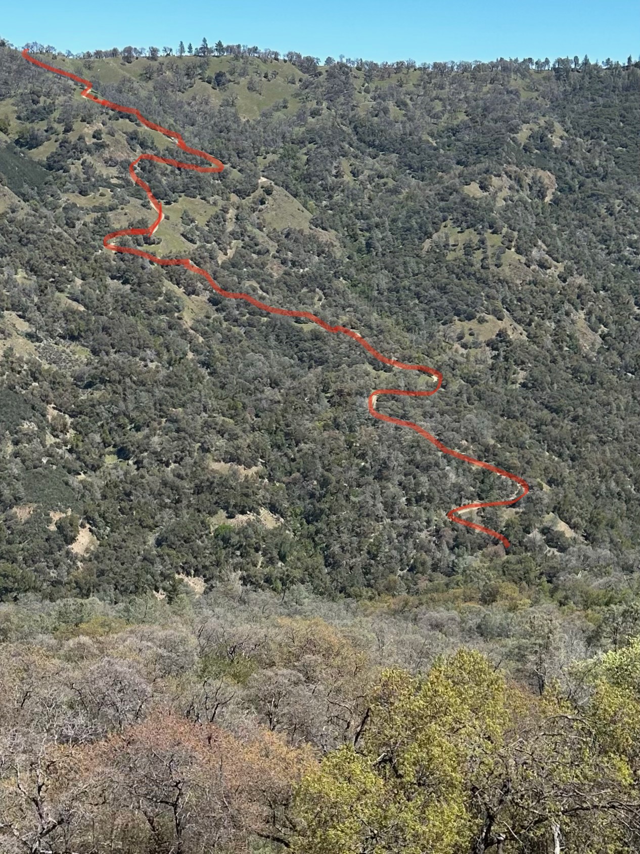
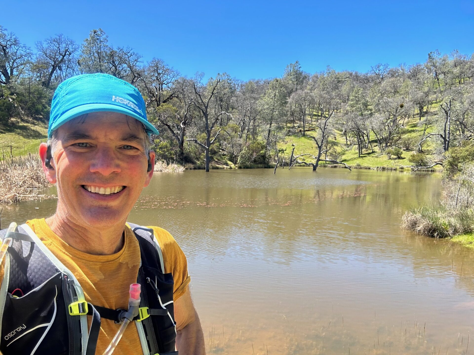
The trek up shortcut was uneventful, though manageable. I didn't run the whole thing like I did last year, and only was a couple minutes slower. I included a pic of the shortcut with the trail roughly highlighted. It sure is long and steep! (We have a local trail in nearby Pleasanton Ridge from the Castleridge Trailhead that has a couple steep sections, but not to the extent that is experienced in Coe.) However, that bench at the top at Blue Ridge is a very refreshing sight! It also seemed that Booze Lake appeared much more full than previously. I keep thinking that I should make a detour to the lake, then I remind myself that it would involve a return hike back up to Blue Ridge, and the idea quickly passes.
I always marvel at being able to nearly see the Pacific Ocean to the west as well the peaks of the Sierras to the east from the ridge leading up to Mount Sizer. It sorta makes up for the lack of prominence of the peak, which seems to be a slight rise from the trail (similar to Black Mountain). But, I was blessed again with good weather and nice views, which made it a nice out and back.
I opted to not make the loop down to Poverty Flat due to time limitations. But, still got a fairly healthy 13-mile out and back trek in (which “rewarded” me with a return trip down shortcut and back up Hobbs Road).
I've included a link to my Strava outing. Of note, since partway through the pandemic, I started listening to a different album (downloaded on Amazon Music) with each solo workout, and I include the album name in my Strava posts. I am now up to 842 different albums since I started back in August 2020.


Responses