Freezing Temps and Frozen Trails
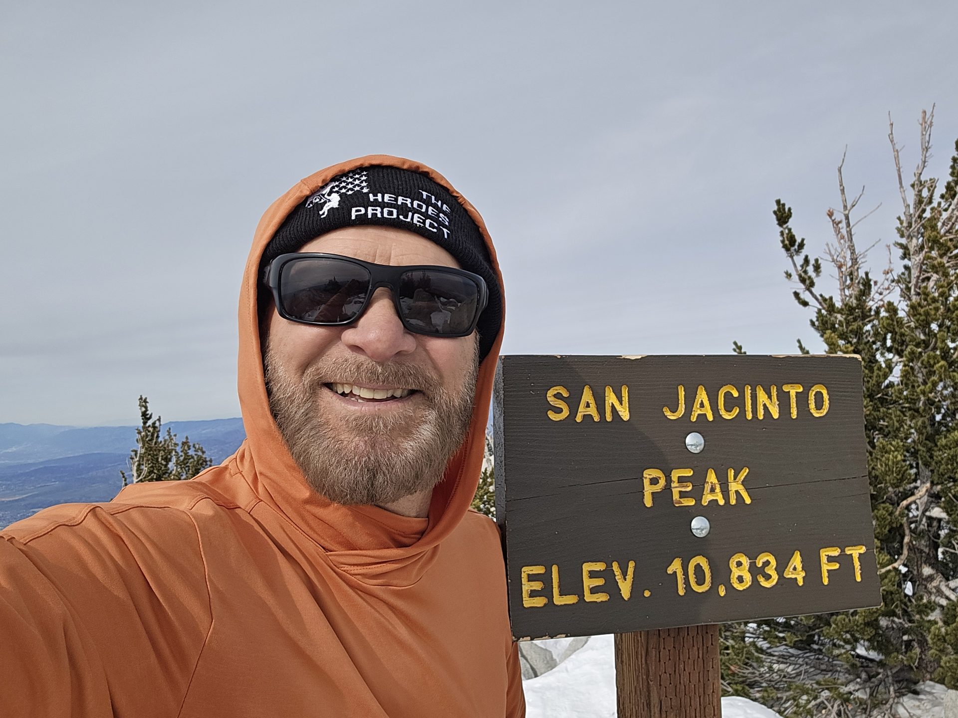
An amazing hike Sunday from the Seven Pines Trail to San Jacinto Peak. The Seven Pines Trail has been on my bucket list for a few years. So, while staying at the Thousand Trails Campground in Idyllwild I decided to knock this one off my bucket list. And, at the same time complete my 30th summit of San Jacinto Peak from seven different trailheads and varying routes to the summit.
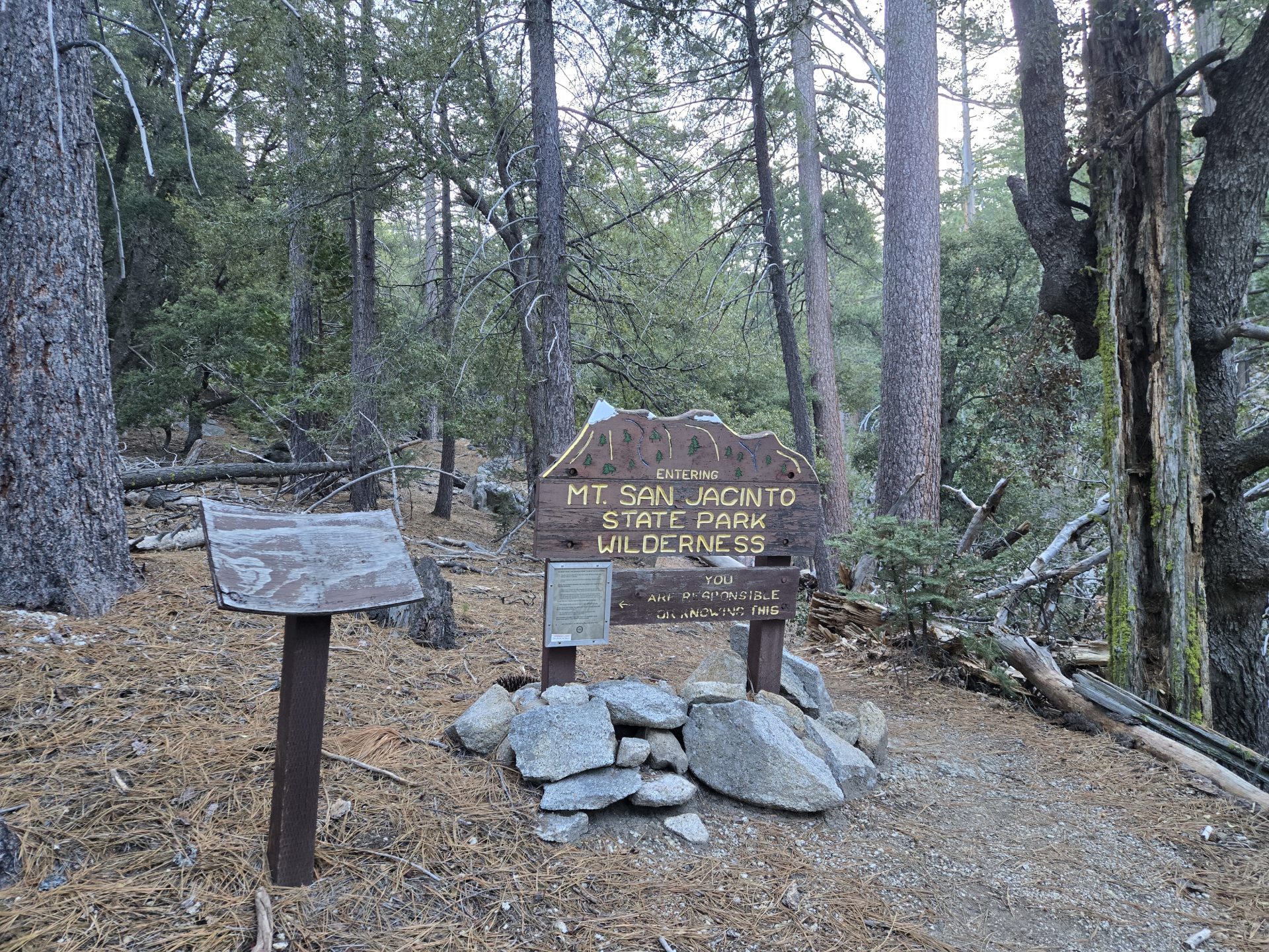
The Seven Pines Trailhead is located several miles in from the Hwy 243 on a forest road near Marion Mountain Campground and Dark Canyon Campground. Most of the road is paved but single tracked. The final 1.4 miles to the trailhead was on a dirt road which was easily traversed with my Santa Cruz.
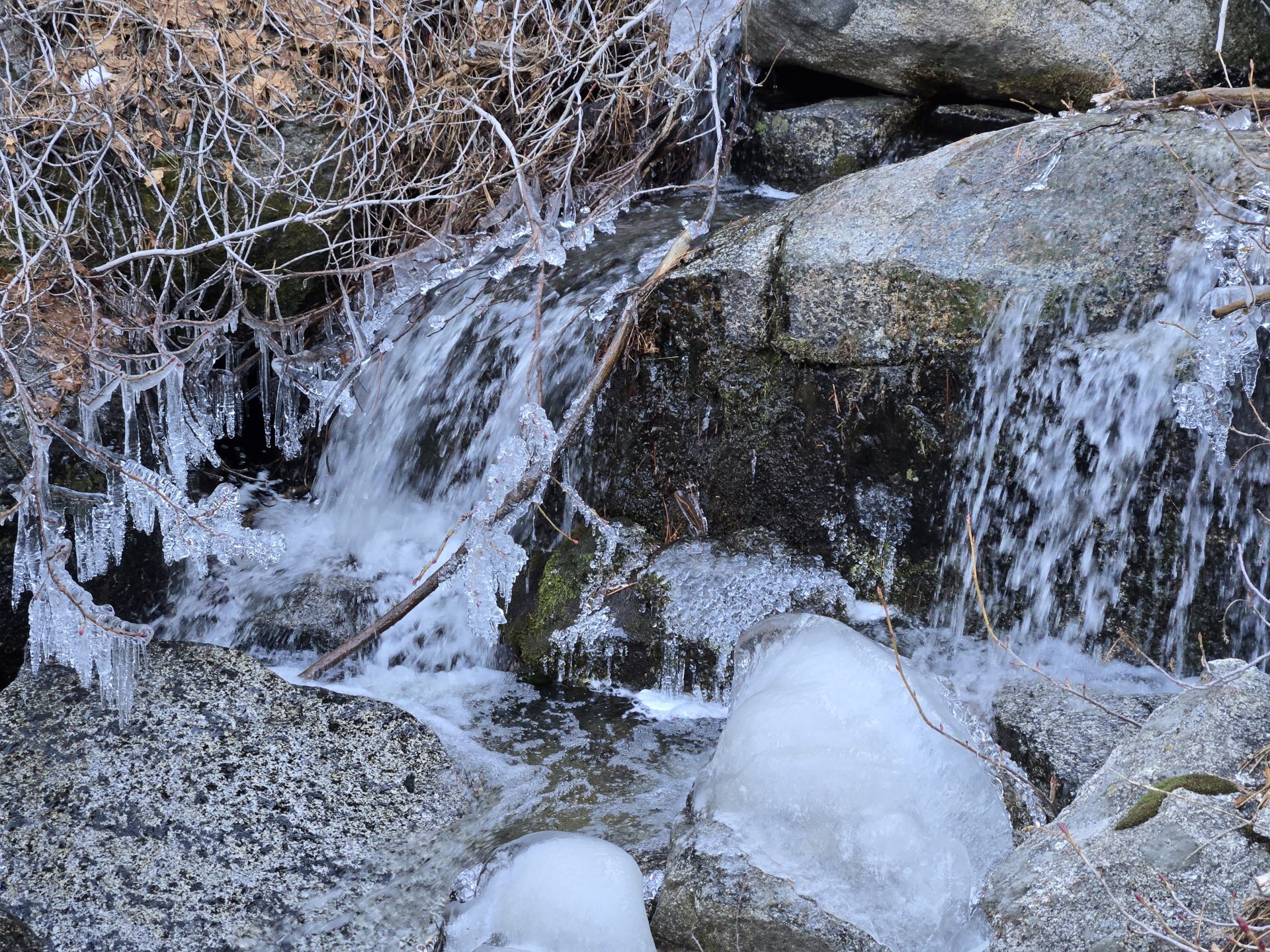
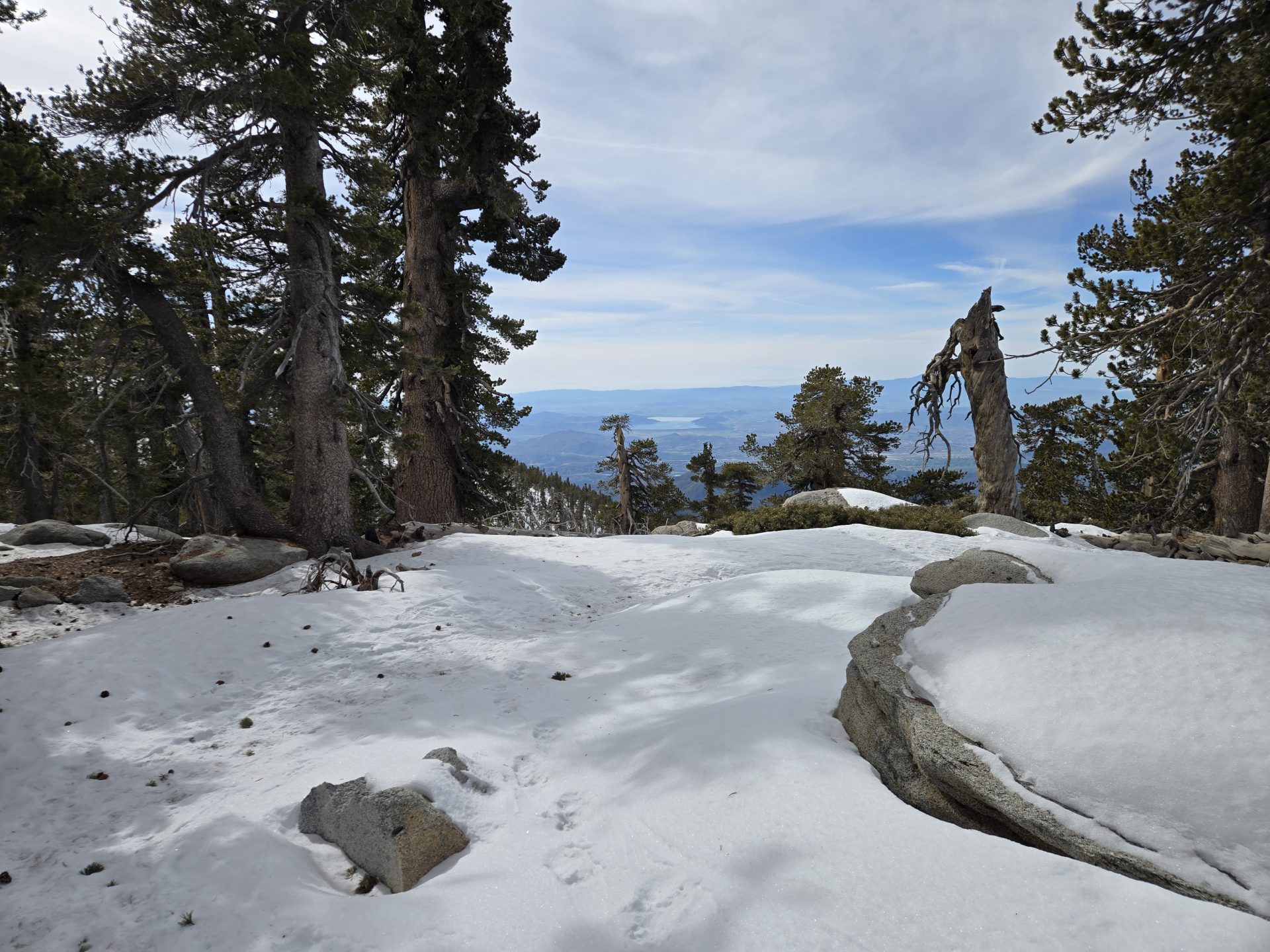
It was about 25 degrees when I reached the trailhead around 6:30 am. Temperatures didn’t get much higher or lower than that throughout the day. The Seven Pines Trail was a 3.7-mile trek to the Deer Springs/PCT and had right around 2,690 feet in elevation gain. Most of the creek crossings had lots of frozen/icy rocks and ice cycles. That said there was no snow for that first 3.7 miles.
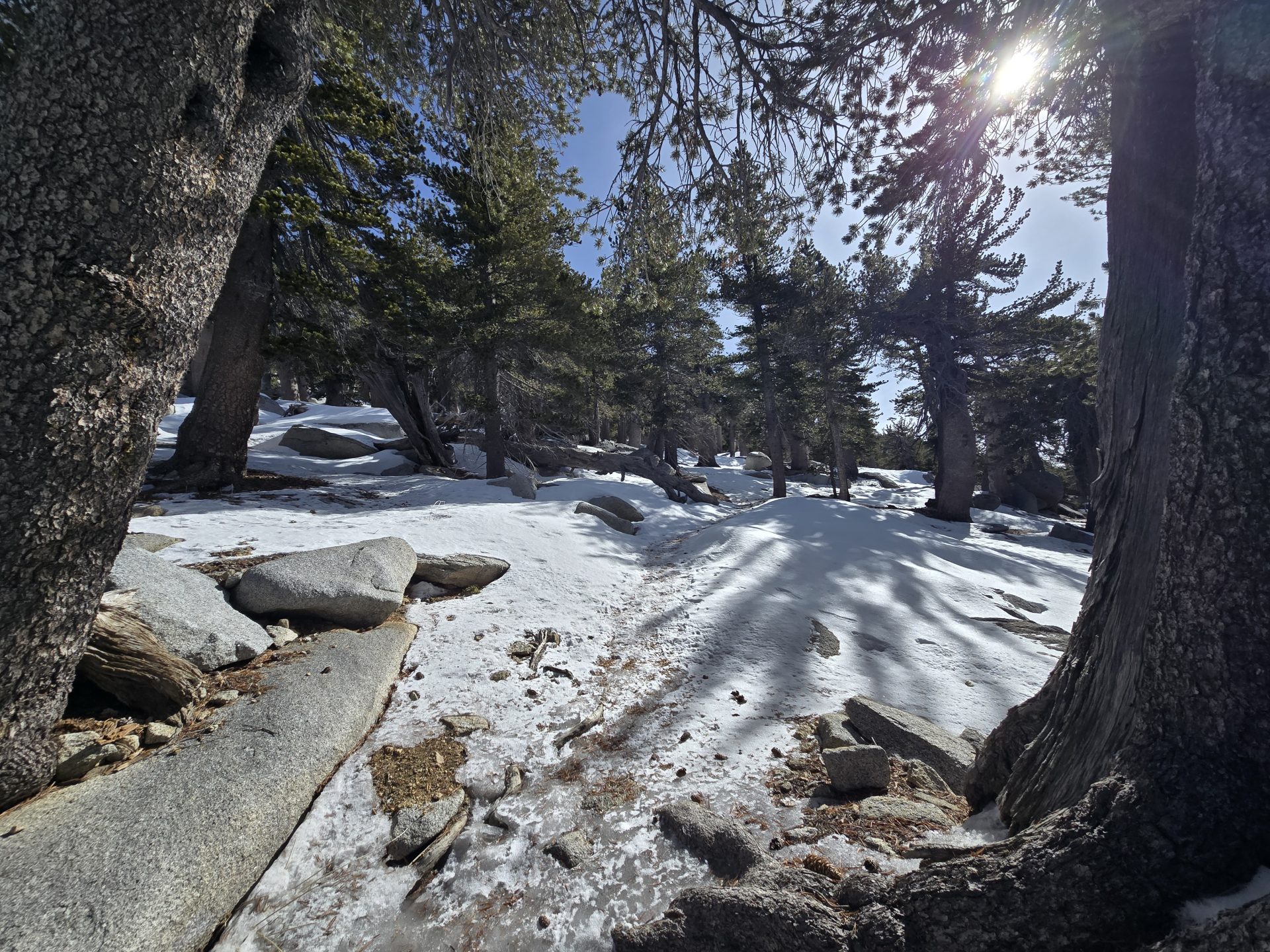
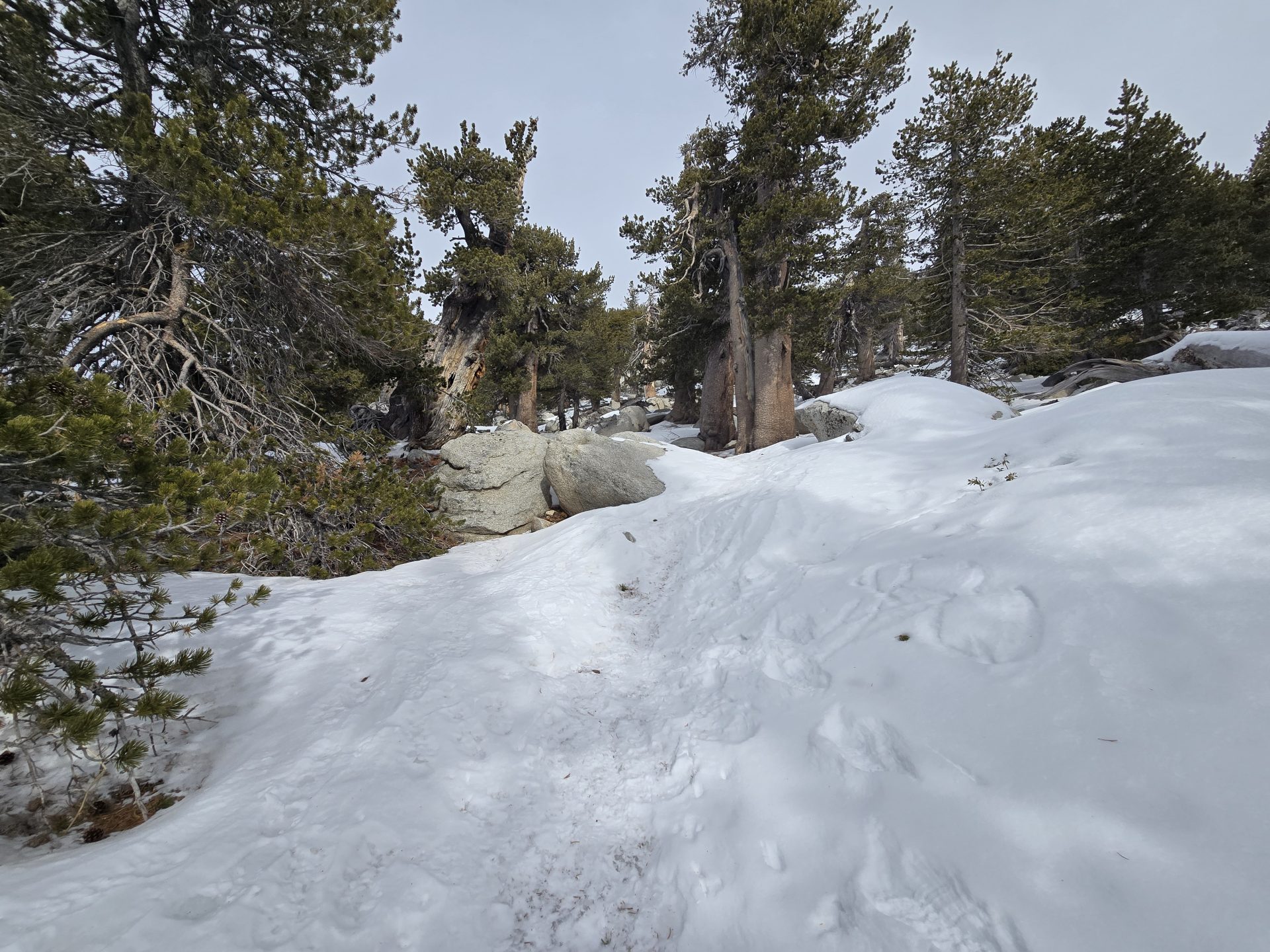
Once on the Deer Springs/PCT trail, I began to see patches of hard icy snow. These patches became a consistent hard/crunchy patchy trail at about 9,000 feet, near the Fuller Ridge and Deer Springs intersection. Past Little Round Valley, the entire trail was snow covered. I was able to traverse the route up pretty easily in my Obos Bridgers. Only slipping (not falling) two or three times. That said, I knew coming down that the best route to go would be by wearing micro spikes. Which I did from the summit back down to the beginning of the Seven Pines Trail.
I saw no one on the Seven Pines Trail, but at least two dozen or more hikers who had come up via the Tram, Deer Springs, or the Marion Mountain Trails. My day ended with 15.3 miles and just over 5,100 feet in total elevation gain. My 7th hike and challenge peak of the year and my 2nd peak from the SoCal Six Pack of Peaks Challenge.

Responses