Strong winds, strong legs!
My six pack of peaks with a new twist this year. I decided to start out the year by completing one peak from each of six different challenges. And the Central Coast Challenge was the next one up as I was travelling back down through California from Oregon.
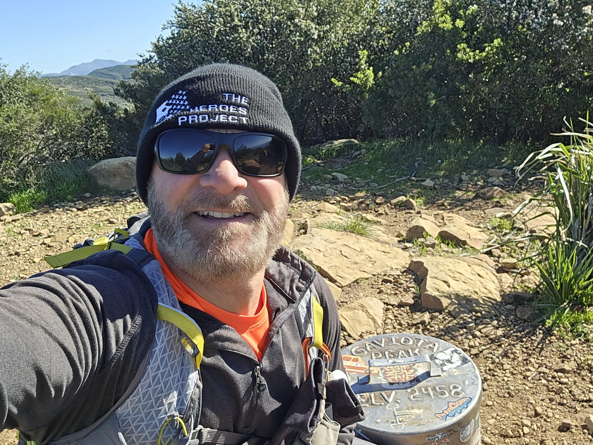
Gaviota Peak is #2 of 6 for my second hike of the year and second peak in this challenge.
January 8,another easy day on trail for my 2nd hike of the year. Gaviota Peak, in the Santa Ynez Mountains near Goleta, CA. Gaviota Peak is one of the peaks in the Central Coast Six-Pack of Peaks Challenge. This one was about a 3.5-hour drive to get to the trailhead from my campsite in Cloverdale, CA enroute to my next campsite in Acton, CA. Which was another 2.5-hour drive after the hike.
I made to the trailhead around 9:15 in the morning. There were two cars in the dirt lot so parking wasn’t an issue. There is a $2 State Park fee for parking (cash only). However, they do accept State Park Passes (such as the Distinguished Veterans Pass). You still need to fill out the envelope provided and display the stub with your State Parks Pass.
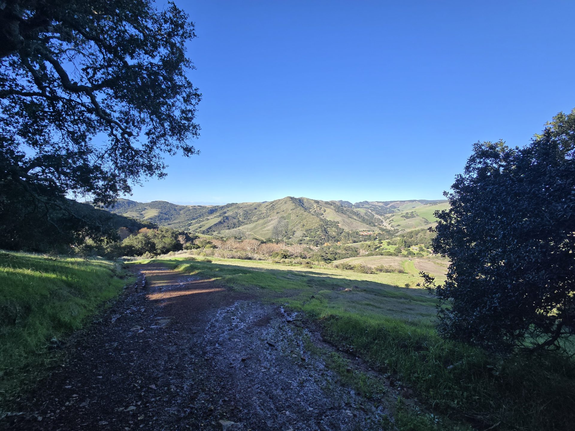
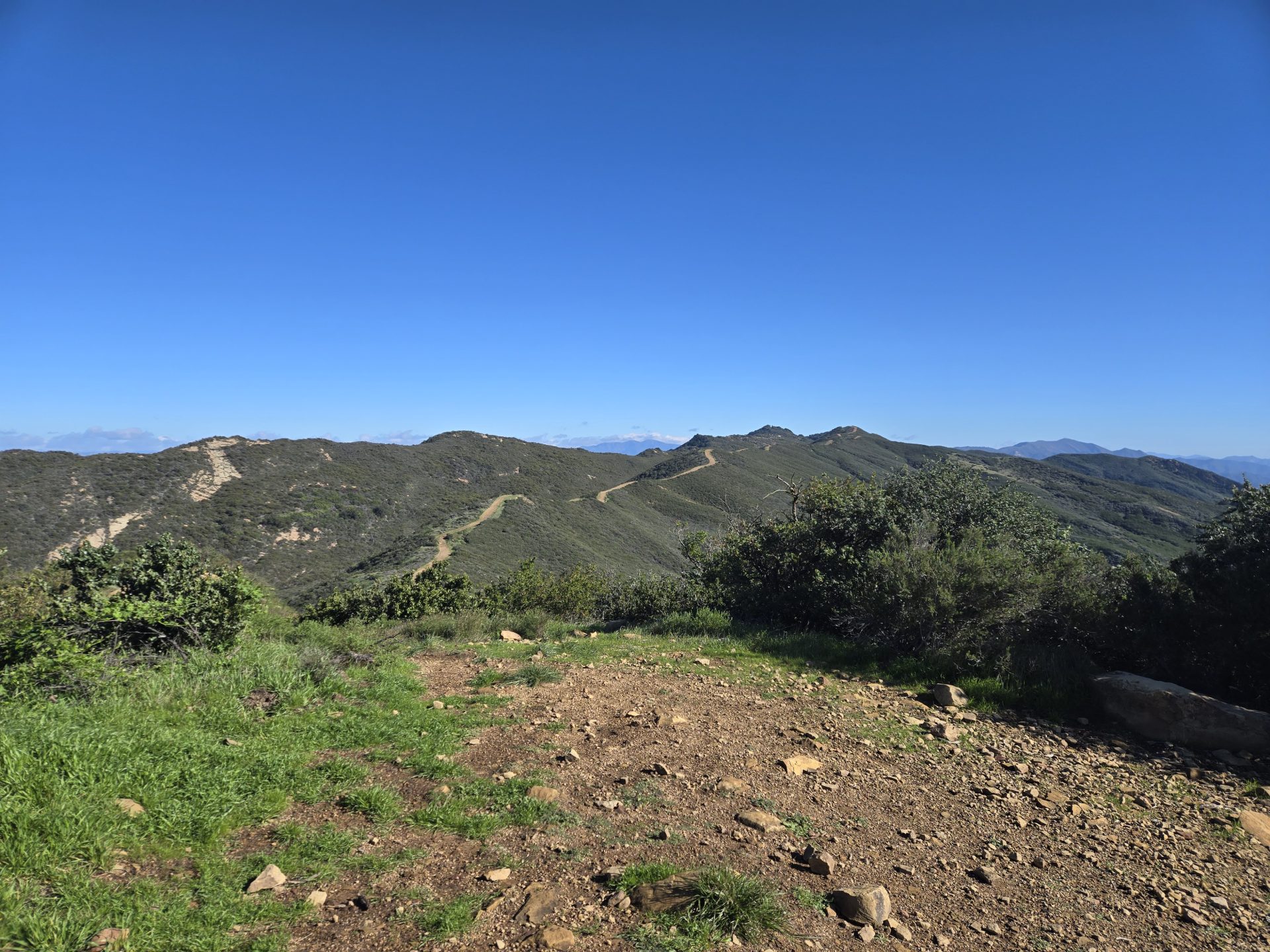
The trail today was again just a gravely/dirt road. All the way to the summit this time. The ground was still wet from recent rains with muddy areas but nothing worth worrying about. I only saw two hikers coming out as I started the hike. After that I had the trail and the summit to myself.
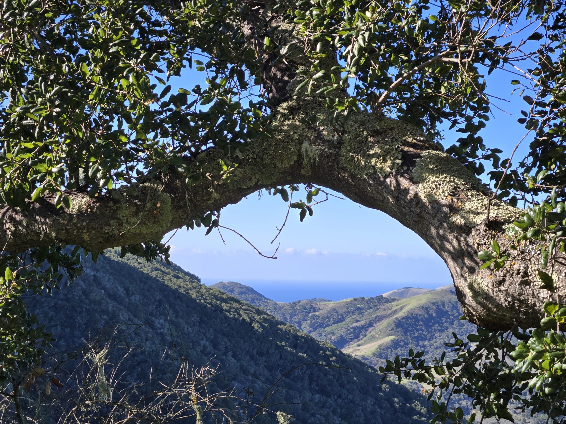
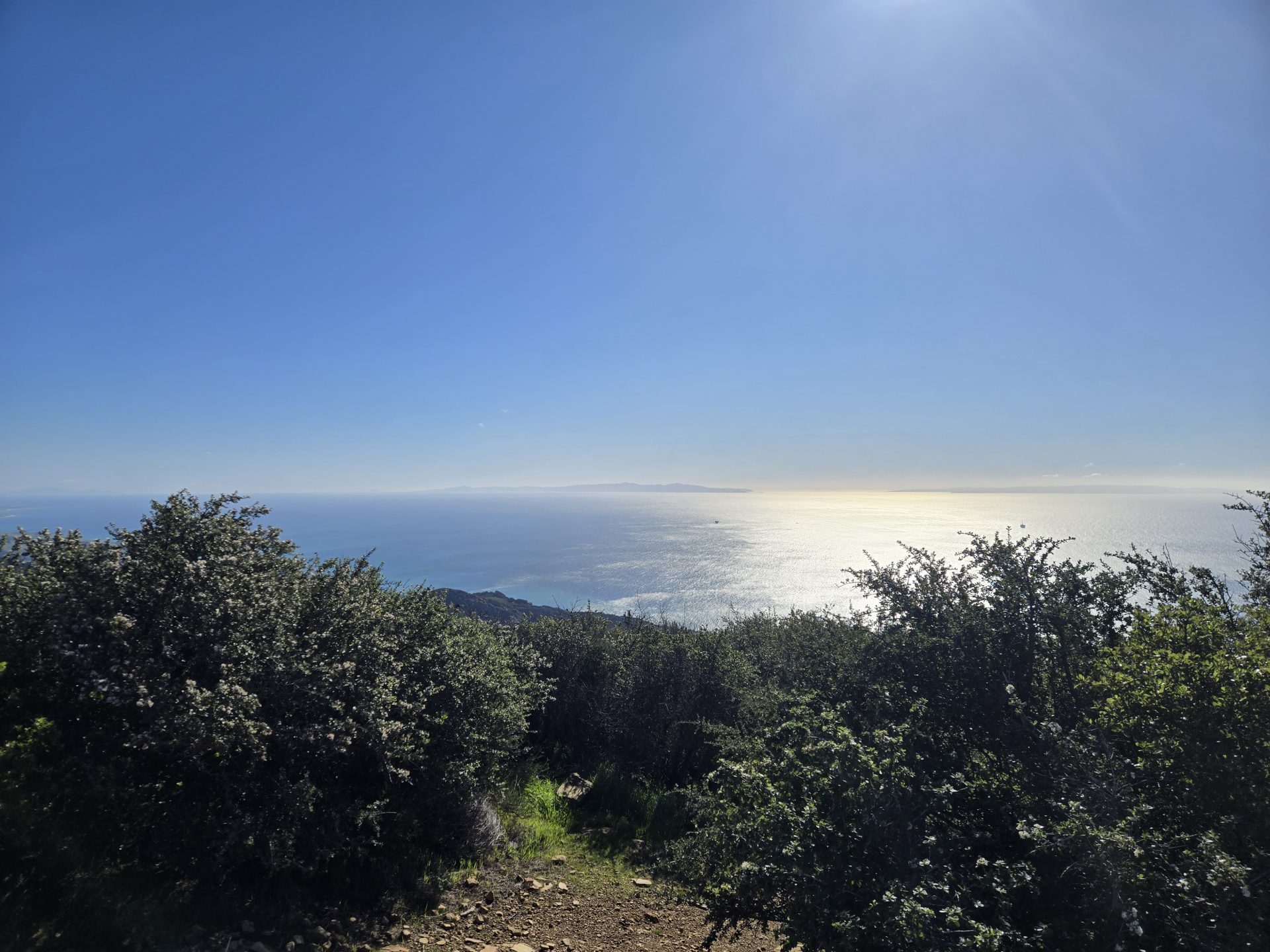
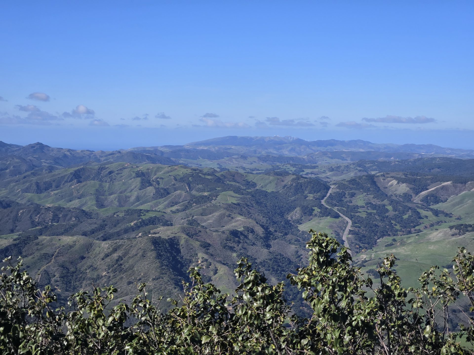
It was a clear day with strong winds. Temps were likely in the low 50’s, but with the wind chill if felt like upper 30’s. Winds were consistent at about 10 to 15 mph, but the gusts were more like 20 to 40 mph. Sometimes those gusts were consistent for 15 to 20 seconds at a time. The trail is partly exposed, so the sun which felt good today could be a factor in warmer weather. The summit was great. It was a bit less windy than the north/eastern slopes. I had clear views north, south, east and west, and the views did not disappoint.
I logged right at 6.2 miles for the out and back route and 2,548 feet in elevation gain. You can do a loop if you choose. I did that a fee years ago. And I remember coming down on the clockwise route, the trail/road being a bit more rutted. Also, on the way up there is a sign that, right around the .4-mile mark, which indicates the summit is only 2-miles away. I would disregard that sign. I tracked 3.1 miles total to the summit. Which means from that sign the distance is 2.7-miles.

Responses