Hike Log


The Pain of High Point
Trailhead
Oak Grove Trail
Type of hike
Day hike
Trail conditions
Minor obstacles posing few problems
Road
Road suitable for all vehicles
Bugs
Bugs were not too bad
Snow
Snow free
Also on this hike
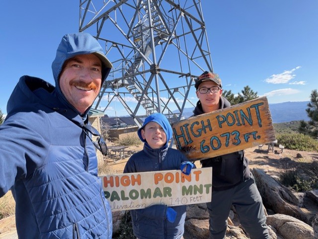
Parked by the fire station. First two miles are brutal. It was really windy so no bugs on the way up. After you hit the fire road it’s another 4 miles. At the top it was freezing and probably 35+mph winds. Was able to find one USGS survey marker, try to collect those pics. It’s over to the left when you come up, the tower is right. It’s on a rock by the building foundation. Tough descent, my knees and legs were shaking. Top notch views of all the OC/LA/SB peaks. We had fun


Responses