
Mount Saint Helena
About this peak
Mount Saint Helena (4,341 feet) in the Mayacamas Mountains is the tallest peak in the Bay Area Six-Pack and one of the few that sees snow in winter. The recommended Six-Pack route is the out-and-back Mount St. Helena Trail from the Stevenson Memorial Trailhead in Robert Louis Stevenson State Park, about 10 miles with roughly 2,100 feet of vertical gain. The first mile is the steepest, and the summit can be windy, so bring layers.
Know before you go
Hazards
The first mile is the steepest, and some sections are rugged, rocky, and narrow. The trail is shared with road traffic on the fire road, including utility vehicles, mountain bikers, and rock climbers, and confusing side trails near the top are easy to take by mistake. Summer afternoons are hot with little shade high on the route, while winter can bring snow and slush, and the summit is often gusty. Cross the busy road carefully at the trailhead.
Join the Community to view parking and routes
Members get route details, parking and trail guides, and can log hikes toward badges.
Join the CommunityAlready a member? Log inHike logs from this peak
Log your hike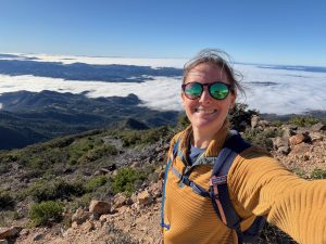


More peaks in this challenge
Sorted by elevation. Bars show summit elevation against the highest peak.
- Mount Saint Helena (you are here) 4,341 ft
- Mount Diablo 3,849 ft
- Rose Peak 3,817 ft
- Mount Umunhum 3,486 ft
- Mount Sizer 3,215 ft
- Black Mountain 2,812 ft
- Mount Tamalpais 2,572 ft
- Mission Peak 2,517 ft