
Hike Log


Big Bay Area Vibes Part I
Trailhead
Dipsea at Panoramic/Shoreline Hwy
Miles
16
Type of hike
Day hike
Trail conditions
Minor obstacles posing few problems
Road
Road suitable for all vehicles
Bugs
No Bugs
Snow
Snow free
Also on this hike
Big day, nearly 16 miles and 3,200 feet. Took six hours and change. Cool, even saw some ice near summit of Tam. On the downhill the Matt Davis Trail below Pantoll is in rough shape. Washouts, downed trees, steps in bad condition.
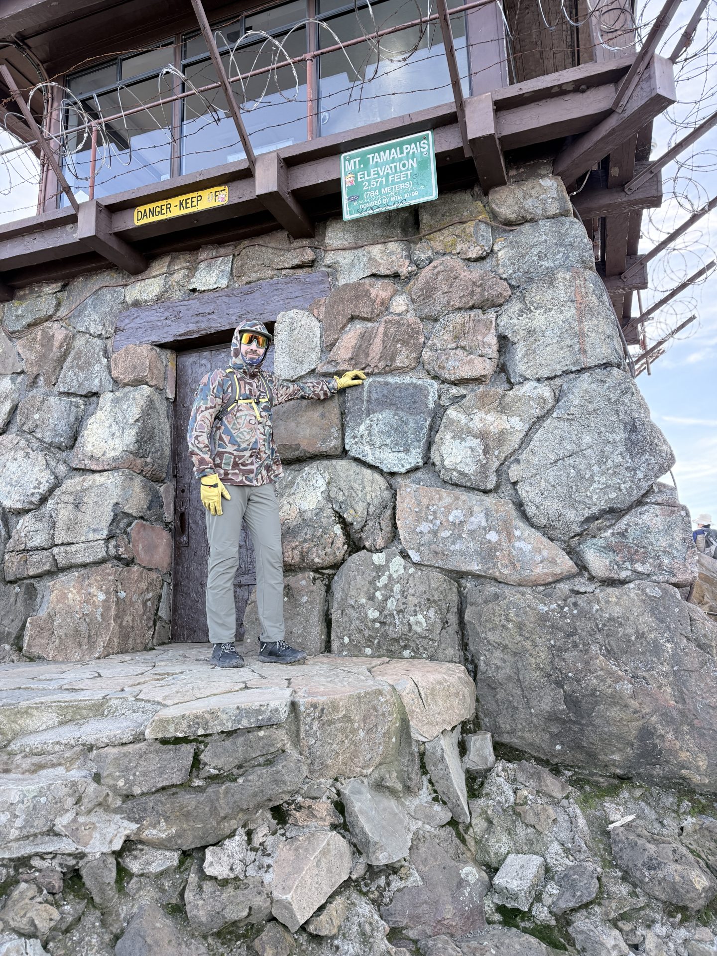
I think this is my favorite peak in the Bay Area challenge. Love Steep Ravine.
Yes! We ascended via Steep Ravine. That hike truly is top tier. I’d been up Steep Ravine before but had never summited from Stinson. There were so many people out on the trail. Probably because it was first sunny weekend we’ve had since before Christmas.