
Not So Green Pastures

Also on this hike
Got up early and left from Sunriver/Bend RV Park. My drive was to take about 2.5 hours to get to the trailhead. That said, when Google Maps said I had reach my destination, I didn’t see any place to pull over on the side of the road. Nor did I see a trailhead anywhere near. Cell reception was spotty, so Google Maps did not reroute my direction. So, I spent about 15 minutes or so driving way past the trailhead. Once I had service again, I reentered the address and turned back. I drove another 15 or so minutes and finally pulled over where Googles Maps wanted me to turn. Only the turn was on a very narrow dirt path/road that had a gate about 30 feet or so off the road. There was nowhere to park without blocking the gate. So, I backed out and found a spot just on the other side of the hwy.
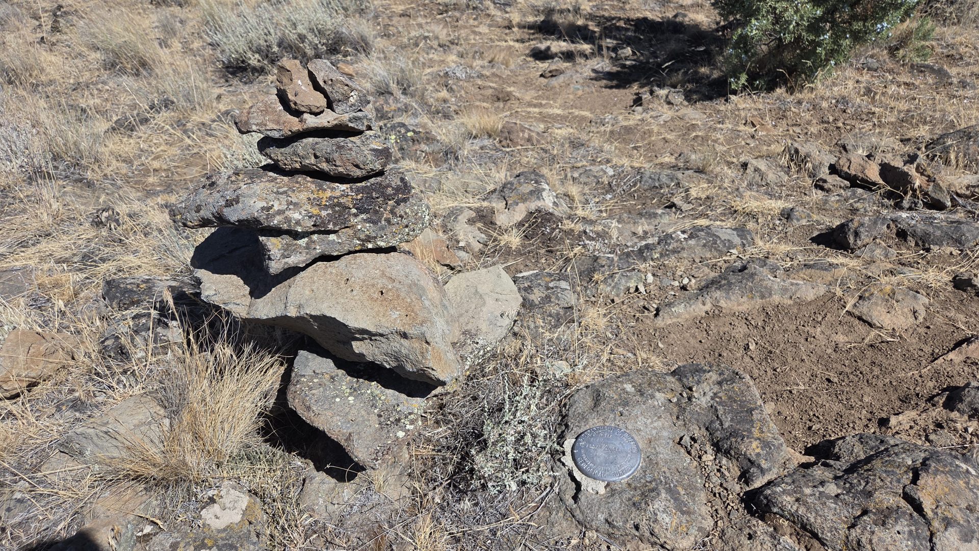
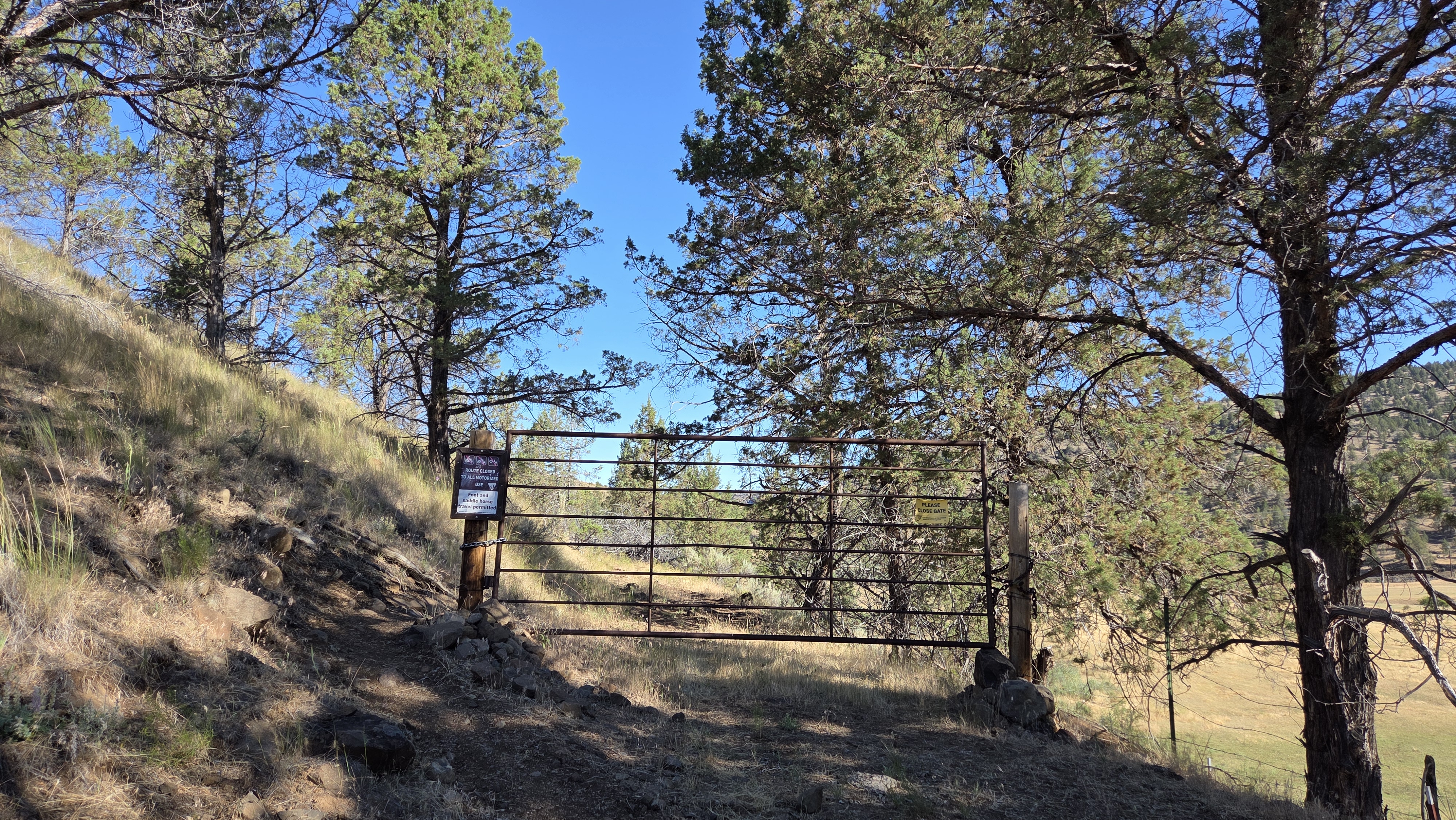
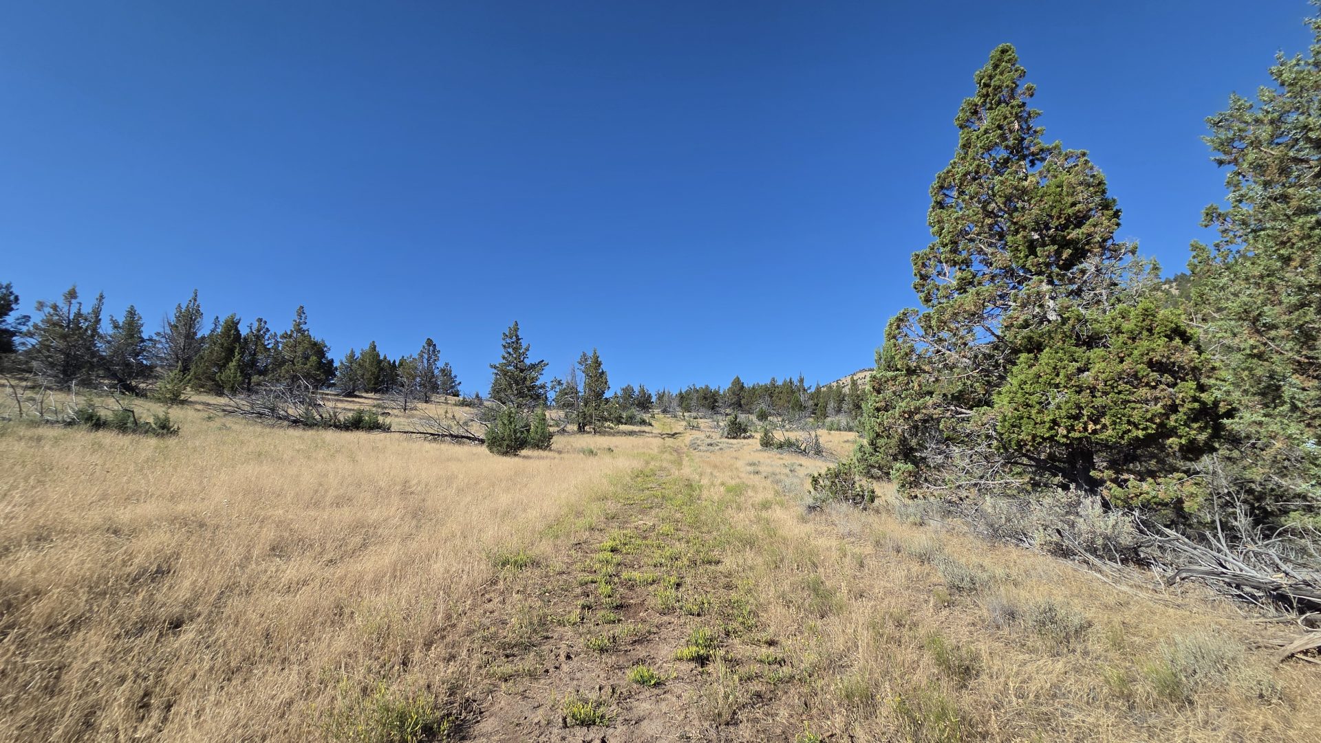
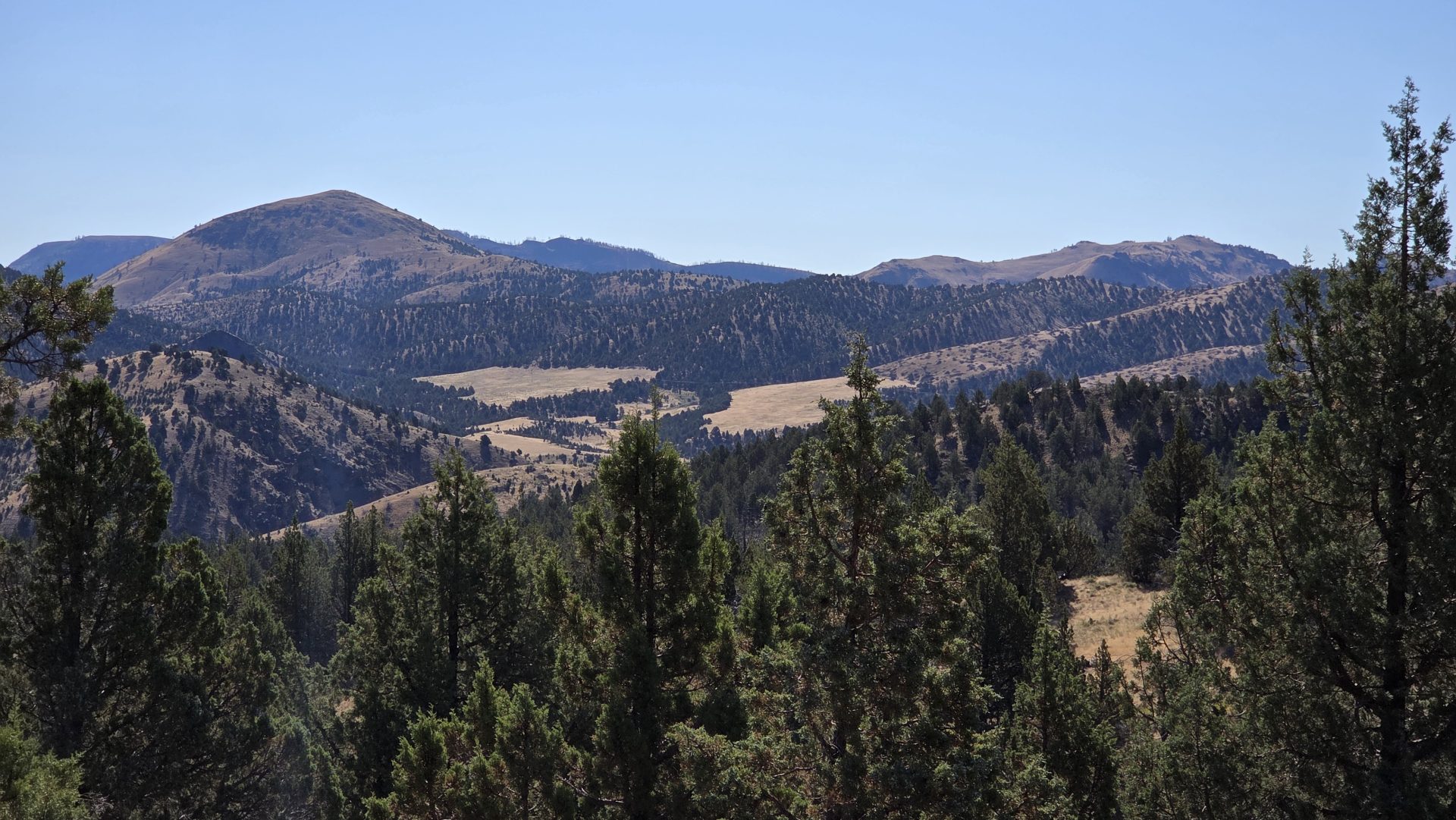
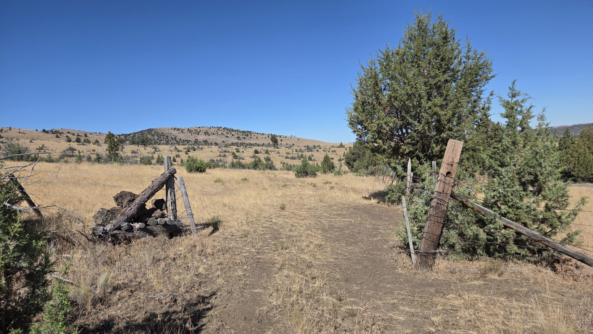
After entering the gate on foot, I walked for about a football field along an overgrown dirt path/road to get to the point where the trail actually began. The entire trail was nothing more than an overgrown dirt road roaming through brown pastures. It looked like it hadn’t been used in years. There were a few gates throughout the hike. Which was more like just taking a walk-through an unused cow pasture. It was a very pleasant ascent. Nothing steep or tricky. As I followed the path, I noticed it was taking me past the actual summit of Sutton Mountain. There was no trail leading to that point. So, I turned in the direction of the summit and walk toward a tree at the top. Once I got there, I was rewarded with some awesome views of south/central Oregon. At the tree, I decided to walk the flat summit to the left of where I came up. Glad I did. On that side of the summit was the actual summit survey marker and a cairn marking the spot so you could see it from a distance.
Turn back the other direction, I followed the ridgeling across, down and then up to another hilltop for about a half mile. From there I headed back down to the trail below me and hiked my way back to the trailhead. I had perfect weather for the day. Clear skies, zero wind and just about 80 degrees. Although an easy to moderate hike, almost all of this trail is exposed. Bring plenty of water.
I finished the day with 7.7 miles and 1,849 feet in elevation gain. Easy day for peak #1 of the challenge.
Side Note: As you approach from Mitchell on the 207, the trail is located about 100 feet or so past a 15-mile marker sign on your left. Just as you’re turning a corner.

I usually hike this in the winter or spring, but many times the lower section has been a muddy mess. May/June is the sweet spot — not too hot, and still some wildflowers blooming. And yes… finding the trailhead is the real challenge on this hike! 🙂