Clear skies and lots of sunshine and “The Views”
My six pack of peaks with a new twist this year. I decided to start out the year by completing one peak from each of six different challenges. On to the San Diego Challenge as I finish my travels south back down to Southern California from Oregon.
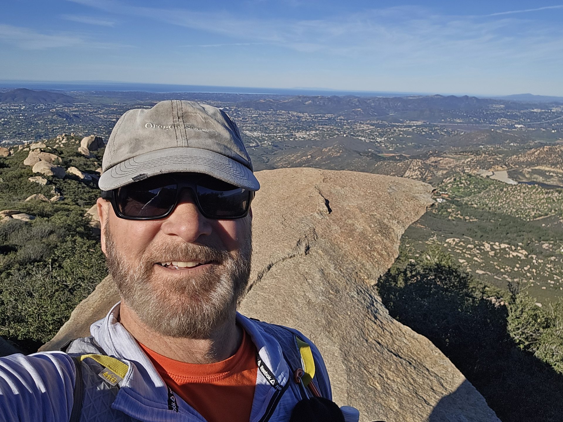
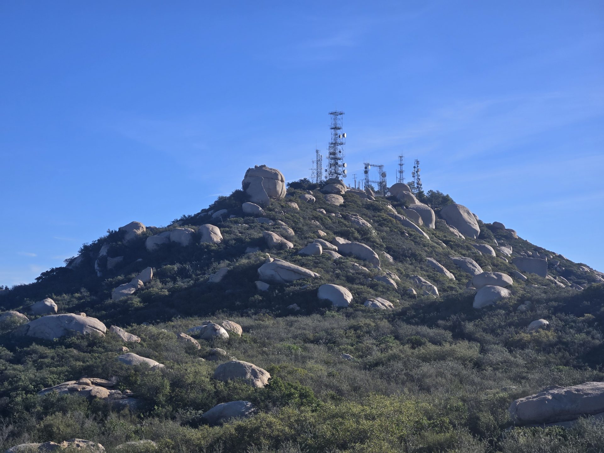
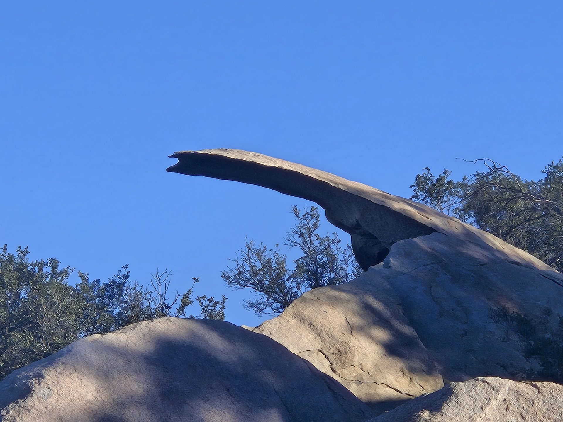
Mount Woodson, aka Potato Chip Rock (PCR) is #4 of 6 for my fourth hike of the year and fourth peak in this challenge.
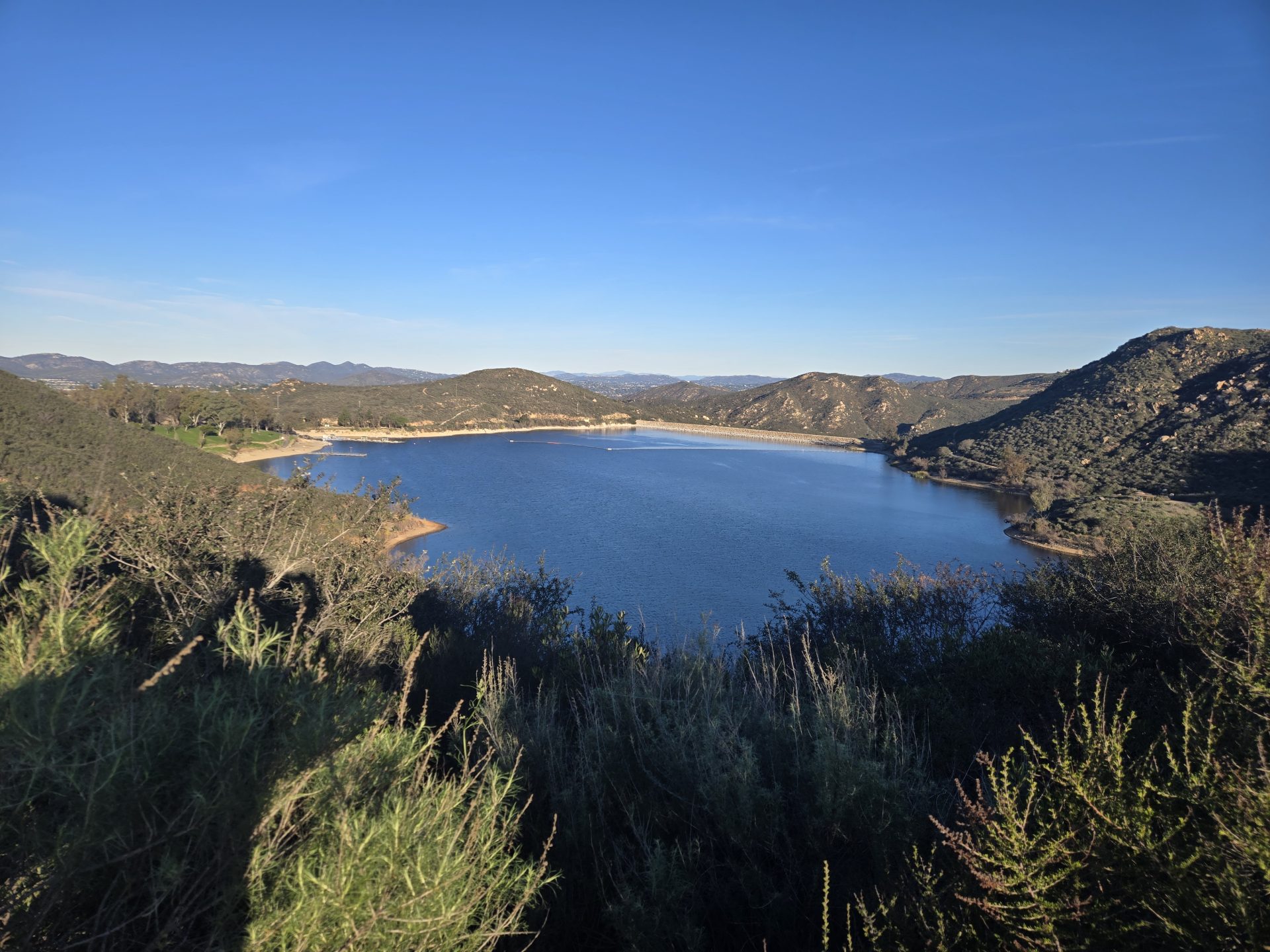
January 12 – Headed down to Lake Poway this morning from Wilderness Lakes in Menifee for my 4th hike of the year. Mount Woodson, aka Potato Chip Rock (PCR) via Lake Poway. PCR is one of the peaks in the San Diego Six-Pack of Peaks Challenge. It was about a 1-hour 30-minute drive this morning due to some heavy traffic on the I215 and I15.
I arrived at Lake Poway right around 7:30am. There is a $10 parking fee for non-residents of Poway and non-active-duty military on weekends and holidays. Residents pay $5 and active duty with ID cards are free. Otherwise, Monday through Friday is free parking for all.
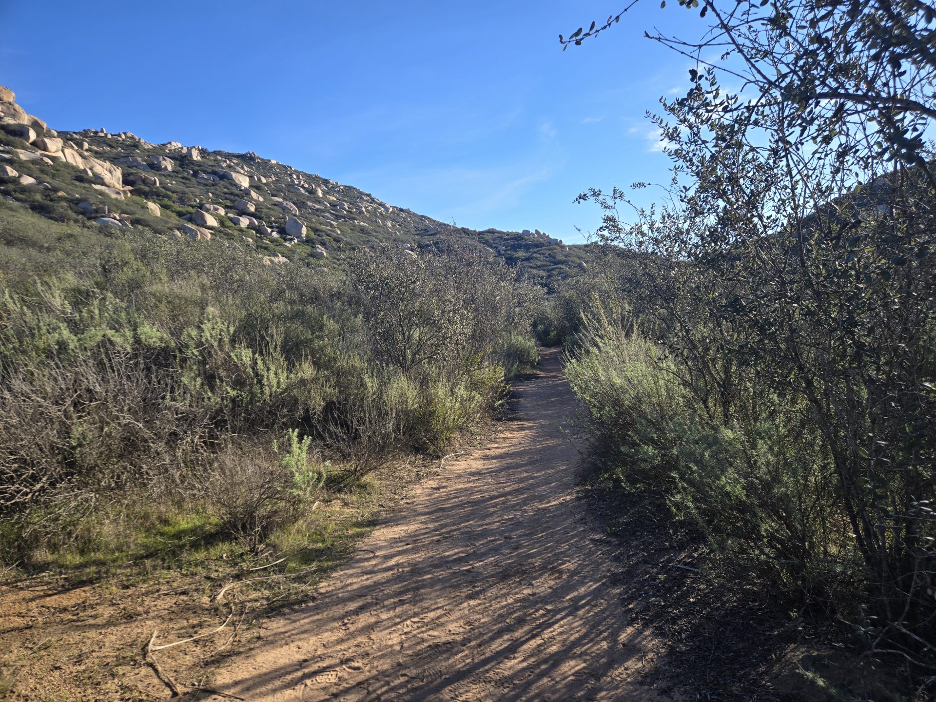
There were just a few cars in the lot when I began my hike right around 7:55am. It was a bit chilly (mid-40’s) but the temperature was expected to reach the low 70’s by noon. I wore shorts, two thin layers (a t-shirt and a mid-layer), light weight gloves and a beanie to start. By mile two, I removed my gloves and replaced my beanie with a baseball cap.
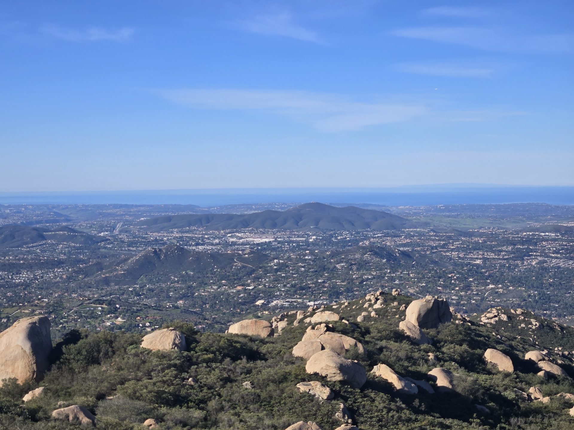
Skies today were clear and there was some wind early on but that died off quickly. Excellent views all around and throughout the hike. I could clearly see the city of San Diego, San Clemente Island and just about everything else in between. I had clear views up to the San Gabriels, including Mount Baldy and Cucamonga Peaks. And I could even see as far as Mount Baden-Powell to the Northwest and Palomar Mountain to the North. There trail was in great shape. There were only a handful of hikers that I saw on my way up, but at least a dozen more headed up as I descended.
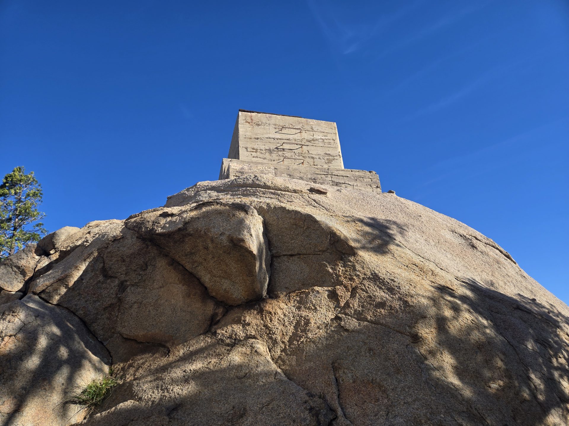
The summit was nice and peaceful. I think it’s been several years since I had the PCR all to myself. I kept a moderate pace going up in just about 1.75-hours for 4 miles (this included some extra walking around that the actual summit. I ended the hike with 7.8-miles and 2,201 feet in total elevation gain.
Wow, very inspiring, Phillip!
Thank you, Angelique!
I see you spelled my name with one “L”, so now I have to share a story with you.
I was at REI a few years ago and as I made my way to the cashier to pay, I handed her my REI credit card. She looked at then looked at me and said, “Oh, you spell your name with one “l”.”
I said, “Yes, I do.”
Then she said, “Did you know that makes you ‘one L of a guy’?”
😉 😉