
About this peak
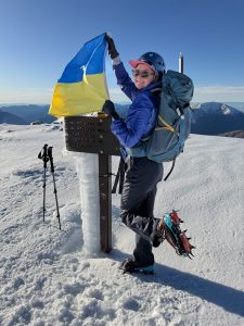
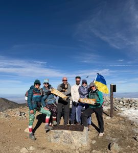
Better known as Mount Baldy for its treeless, often snow-capped crown, Mount San Antonio is the highest peak in the San Gabriel Mountains and the highest point in Los Angeles County. The recommended route is a 10.2-mile lollipop from Manker Flats with about 3,900 feet of gain: up the fire road to Baldy Notch, along the Devil’s Backbone ridge to the summit, and back down the steep Baldy Bowl trail past the Ski Hut. Snow often lingers into June, the wind at the top can be fierce, and the Backbone is dangerous when icy.
Know before you go
Hazards
Snow and ice often last well into June, and the Devil's Backbone, a narrow ridge, can be treacherous when icy; there have been deaths on this trail. Wind at the summit can be fierce and cold even when it is warm below. Baldy Bowl is loose scree, and there is no clear signage to the Ski Hut Trail from the summit, so it is easy to head down the wrong way; carry a map and GPX track, or hike it as an out-and-back. Check trail conditions with the ranger station in Baldy Village.
Join the Community to view parking and routes
Members get route details, parking and trail guides, and can log hikes toward badges.
Join the CommunityAlready a member? Log inHike logs from this peak
Log your hike
More peaks in this challenge
Sorted by elevation. Bars show summit elevation against the highest peak.
- San Gorgonio 11,503 ft
- Mount San Jacinto 10,834 ft
- San Bernardino Peak 10,649 ft
- Mount Baldy (you are here) 10,064 ft
- Mount Baden-Powell 9,406 ft
- Cucamonga Peak 8,859 ft
- Sawmill Mountain 8,822 ft
- Ontario Peak 8,696 ft
- Strawberry Peak 6,164 ft
- Mount Wilson (San Gabriel Mountains) 5,713 ft
- Santiago Peak 5,689 ft
- Sitton Peak 3,273 ft