
About this peak
Mount Wilson rises above the Los Angeles basin on the edge of the San Gabriel Mountains, and the classic hike from Chantry Flat is a long, shaded climb of roughly 13 to 14 miles with about 4,200 to 4,700 feet of gain. The summit is crowded with observatories and radio towers, and the view runs from the city to the coast on a clear day. It’s a good conditioning hike for bigger objectives and works year-round.
Know before you go
Hazards
Long day: roughly 13 to 14 miles and 4,200 to 4,700 feet of gain, so start early. Poison oak lines parts of the trail, and Poodle Dog Bush grows in burn areas. Summer thunderstorms are possible, and snow or ice can appear near the summit in winter. There are water fill stations at the summit, but carry enough for the climb. Trail junctions around the summit complex can be confusing.
Join the Community to view parking and routes
Members get route details, parking and trail guides, and can log hikes toward badges.
Join the CommunityAlready a member? Log inHike logs from this peak
Log your hike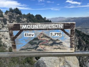
Wilson Wildflowers
Amanda · March 22, 2026
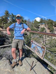
Mount Wilson
Mark · March 21, 2026
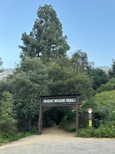
Mount Wilson (CA)
James · March 5, 2026
See all hike logs for Mount Wilson (San Gabriel Mountains) →
More peaks in this challenge
Sorted by elevation. Bars show summit elevation against the highest peak.
- San Gorgonio 11,503 ft
- Mount San Jacinto 10,834 ft
- San Bernardino Peak 10,649 ft
- Mount Baldy 10,064 ft
- Mount Baden-Powell 9,406 ft
- Cucamonga Peak 8,859 ft
- Sawmill Mountain 8,822 ft
- Ontario Peak 8,696 ft
- Strawberry Peak 6,164 ft
- Mount Wilson (San Gabriel Mountains) (you are here) 5,713 ft
- Santiago Peak 5,689 ft
- Sitton Peak 3,273 ft